Banyuwangi (city)
| Banyuwangi | |
|---|---|
| Town | |
 | |
 Banyuwangi 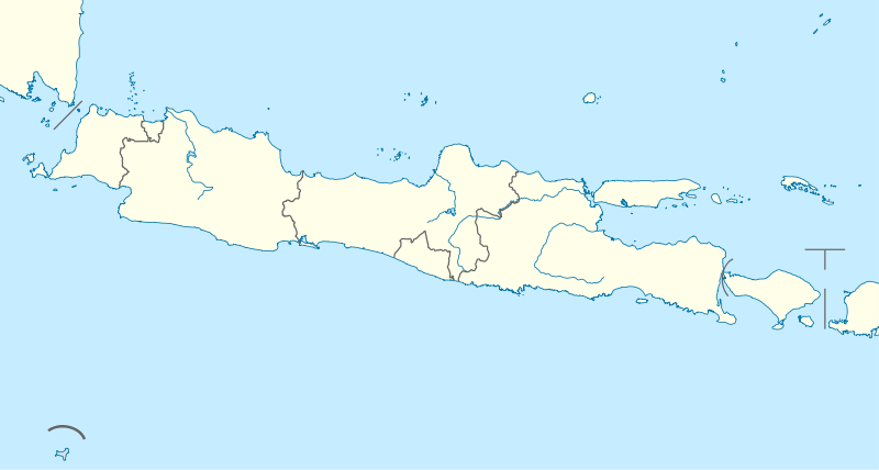 Banyuwangi Banyuwangi (Java)  Banyuwangi Banyuwangi (Indonesia) | |
| Coordinates: 8°13′07″S 114°22′01″E / 8.2186°S 114.3669°E | |
| Country | Indonesia |
| Region | Java |
| Province | East Java |
| Regency | Banyuwangi Regency |
| Area | |
| • Total | 31.96 km2 (12.34 sq mi) |
| Population | |
| • Total | 103.740 |
| • Density | 3.2/km2 (8.4/sq mi) |
| Time zone | UTC+7 (IWST) |
| Area code | (+62) 333 |
| Villages | 18 |
The city of Banyuwangi is the administrative capital of Banyuwangi Regency at the far eastern end of the island of Java, Indonesia. It had a population of 106,000 at the 2010 Census[1]
Geography
Banyuwangi (the name means "Fragrant Water") is built in the centre of the east coast of Java, with the backdrop of the Ijen Plateau to the west, and with fine views across the Bali Strait (Selat Bali) to the island of Bali lying to the east. The principal market area is along the Jalan Susuit Tuban, the street which links the town square (or alun-alun) with the sports stadium (Stadium Diponegoro) a half-kilometre to the southeast.
History
The city was the capital of the Kingdom of Blambangan, the sixteenth-century Hindu kingdom which ruled this eastern tip of Java. Although the rapidly expanding Muslim kingdom of Mataram attacked Blambangan during the early seventeenth century, it managed to survive as the last Hindu kingdom on the island, and it was mostly ignored by the Dutch until the eighteenth century, when they took it over.
External links

References
- ↑ Biro Pusat Statistik, Jakarta, 2011.