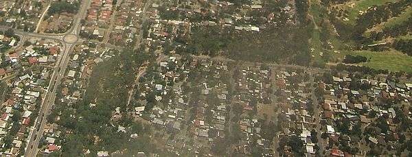
Banksia Park, South Australia
| Banksia Park Adelaide, South Australia | |||||||||||||||
|---|---|---|---|---|---|---|---|---|---|---|---|---|---|---|---|
 Banksia Park streetscape | |||||||||||||||
| Population |
| ||||||||||||||
| • Density | 645/km2 (1,670/sq mi) | ||||||||||||||
| Postcode(s) | 5091 | ||||||||||||||
| Area | 5.1 km2 (2.0 sq mi) | ||||||||||||||
| Location | 20 km (12 mi) from Adelaide | ||||||||||||||
| LGA(s) | City of Tea Tree Gully | ||||||||||||||
| State electorate(s) | Newland | ||||||||||||||
| Federal Division(s) | Makin | ||||||||||||||
| |||||||||||||||
Banksia Park is a north-eastern suburb located 20 km from the city centre of Adelaide, South Australia, within the City of Tea Tree Gully.
History
Banksia Park was originally named Steventon by John Stevens, the first purchaser of this block of land, however the name was later changed to Banksia Park due to the abundance of banksia trees located within the area.
Steventon Post Office opened around January 1859 and was renamed Tea Tree Gully in 1872. A Banksia Park office has never existed.[3]
Residents
In 2001, Banksia Park had a population of 3,455 with 48% being in the age group of 25–54 years.[4] By 2006, the population dropped to 3,398[5] and by 2011, it has dropped again to 3,238.[2] However, at the 2016 Australian Census, the population was recorded as having increased to 3,289.[1]
References
- 1 2 Australian Bureau of Statistics (27 June 2017). "Banksia Park (State Suburb)". 2016 Census QuickStats. Retrieved 22 December 2017.

- 1 2 Australian Bureau of Statistics (31 October 2012). "Banksia Park (State Suburb)". 2011 Census QuickStats. Retrieved 14 February 2015.
- ↑ Premier Postal History. "Post Office List". Premier Postal Auctions. Retrieved 26 May 2011.
- ↑ Australian Bureau of Statistics (9 March 2006). "Banksia Park (State Suburb)". 2001 Census QuickStats. Retrieved 17 July 2010.
- ↑ Australian Bureau of Statistics (25 October 2007). "Banksia Park (State Suburb)". 2006 Census QuickStats. Retrieved 17 July 2010.
Coordinates: 34°48′S 138°44′E / 34.800°S 138.733°E