Ban Kao
| Ban Kao บ้านเก่า | |
|---|---|
| Tambon | |
 | |
| Coordinates: 13°52′N 99°9′E / 13.867°N 99.150°E[1] | |
| Country | Thailand |
| Province | Kanchanaburi |
| Amphoe | Mueang Kanchanaburi |
| Elevation | 200 m (700 ft) |
| Population (2005) | |
| • Total | 12,657 |
| Time zone | UTC+7 (ICT) |
Ban Kao (Thai: บ้านเก่า; lit: old village) is a village and tambon (sub-district) of Mueang Kanchanaburi District, in Kanchanaburi Province, Thailand.[2] In 2005 it had a population of 12,657 people. The tambon contains 15 villages.
Geography
Ban Kao Subdistrict is in the mountainous area of the Tenasserim Hills, close to the border with Myanmar. Phu Nam Ron,[3] a transnational cross-border point at the western end of the sub-district, is expected to gain in importance if the planned Dawei deepwater port project goes ahead, along with a highway and a railway line between Bangkok and that harbor.[4]
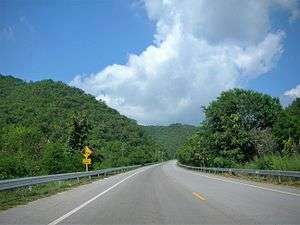 Ban Kao Sub-district, road to Phu Nam Ron |
History
Numerous Neolithic archaeological remains have been found in a big mound at Ban Kao. The burial site yielded many human skeletons[5] and artifacts dating between 200 and 1300 BCE.[6] Some of the items are preserved in a small museum in Ban Kao village.[7]
References
- ↑ GoogleEarth
- ↑ Thaitambon.com, Accessed 11 May 2011 (in Thai)
- ↑ Phu Nam Ron Border Crossing
- ↑ Table A1-1-1a. Prospective projects in Mekong sub-region
- ↑ Archaeological Excavations in Thailand. 3, Ban-Kao: Neolithic Cemeteries... Part 2, The Prehistoric Thai Skeletons.
- ↑ Keat Gin Ooi (ed.), Southeast Asia: A Historical Encyclopedia, Volume 1, p. 208
- ↑ Ban Kao National Museum
External links

- Human remains from archaeological sites in Thailand: legislative and ethical issues (in Thai), Muang Boran Journal (in Thai)