Baiyun Dam
| Baiyun Dam | |
|---|---|
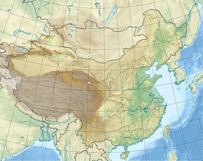 Location of Baiyun Dam in China | |
| Country | China |
| Location | Chengbu Miao Autonomous County, Hunan Province |
| Coordinates | 26°19′45.31″N 110°19′55.89″E / 26.3292528°N 110.3321917°ECoordinates: 26°19′45.31″N 110°19′55.89″E / 26.3292528°N 110.3321917°E |
| Purpose | Power |
| Status | Operational |
| Construction began | 1992 |
| Opening date | 1999 |
| Dam and spillways | |
| Type of dam | Embankment, concrete-face rock-fill |
| Impounds | Wushui River |
| Height | 120 m (390 ft) |
| Length | 189.5 m (622 ft) |
| Reservoir | |
| Total capacity | 360,000,000 m3 (290,000 acre⋅ft) |
| Catchment area | 556 km2 (215 sq mi) |
| Surface area | 9.6 km2 (3.7 sq mi) |
| Normal elevation | 540 m (1,770 ft) |
| Installed capacity | 54 MW |
The Baiyun Dam is a concrete-face rock-fill dam on the Wushui River in Chengbu Miao Autonomous County of Hunan Province, China. The dam serves to provide water for irrigation and to generate hydroelectric power. Construction on the dam started in 1992, the reservoir was impounded in 1998 and the project was complete in 1999. The reservoir has a storage capacity of 360,000,000 m3 (290,000 acre⋅ft) and the power station has an installed capacity of 54 MW.[1][2]
See also
References
- ↑ "Hydropower Construction Supervision clouds concrete face rockfill dam" (in Chinese). People of the Yangtze River. 1996. Retrieved 10 June 2014.
- ↑ "AQUASTAT Dams in China" (Microsoft Excel). United Nations – Foreign Agriculture Organization. Retrieved 10 June 2014.
This article is issued from
Wikipedia.
The text is licensed under Creative Commons - Attribution - Sharealike.
Additional terms may apply for the media files.