Bafatá Airport
| Bafatá Airport | |||||||||||
|---|---|---|---|---|---|---|---|---|---|---|---|
| Summary | |||||||||||
| Airport type | Public | ||||||||||
| Serves | Bafatá | ||||||||||
| Elevation AMSL | 165 ft / 50 m | ||||||||||
| Coordinates | 12°10′35″N 14°39′30″W / 12.17639°N 14.65833°WCoordinates: 12°10′35″N 14°39′30″W / 12.17639°N 14.65833°W | ||||||||||
| Map | |||||||||||
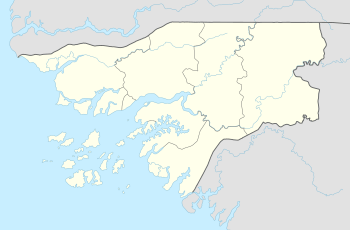 Bafatá | |||||||||||
| Runways | |||||||||||
| |||||||||||
Bafatá Airport (ICAO: GGBF) is an airport serving Bafatá in Guinea-Bissau. The dirt runway doubles as Av. Brasil[3][4] and may have vehicular traffic.
See also
References
- ↑ Google Maps - Bafatá
- ↑ Airport information for GGBF at Great Circle Mapper.
- ↑ "Google Maps". Google Maps. Retrieved 2018-08-20.
- ↑ "Google Maps". Google Maps. Retrieved 2018-08-20.
- Google Earth
External links
This article is issued from
Wikipedia.
The text is licensed under Creative Commons - Attribution - Sharealike.
Additional terms may apply for the media files.