Azinhoso
| Azinhoso | |
|---|---|
| Civil parish | |
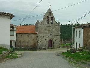 Main Church in Azinhoso | |
 Azinhoso | |
| Coordinates: 41°23′02″N 6°41′06″W / 41.384°N 6.685°WCoordinates: 41°23′02″N 6°41′06″W / 41.384°N 6.685°W | |
| Country | Portugal |
| Region | Norte |
| Subregion | Alto Trás-os-Montes |
| Intermunic. comm. | Terras de Trás-os-Montes |
| District | Bragança |
| Municipality | Mogadouro |
| Area | |
| • Total | 30.80 km2 (11.89 sq mi) |
| Population (2011) | |
| • Total | 307 |
| • Density | 10.0/km2 (26/sq mi) |
Azinhoso is a Portuguese freguesia ("civil parish") in the Concelho of Mogadouro. The population in 2011 was 307,[1] in an area of 30.80 km².[2] It was parish and capital of Concelho between 1386 and the beginning of the 19th century. In 1801 it had 302 inhabitants.
References
- ↑ Instituto Nacional de Estatística Archived November 15, 2016, at the Wayback Machine.
- ↑ Direção-Geral do Território
This article is issued from
Wikipedia.
The text is licensed under Creative Commons - Attribution - Sharealike.
Additional terms may apply for the media files.