Azaza Airport
| Azaza Airport | |||||||||||
|---|---|---|---|---|---|---|---|---|---|---|---|
| Summary | |||||||||||
| Airport type | Public | ||||||||||
| Serves | Gedaref | ||||||||||
| Elevation AMSL | 1,640 ft / 500 m | ||||||||||
| Coordinates | 14°07′50″N 35°18′25″E / 14.13056°N 35.30694°ECoordinates: 14°07′50″N 35°18′25″E / 14.13056°N 35.30694°E | ||||||||||
| Map | |||||||||||
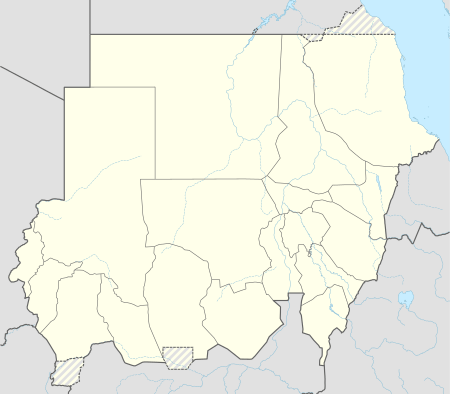 GSU Location of the airport in Sudan | |||||||||||
| Runways | |||||||||||
| |||||||||||
|
Source: Google Maps[1] | |||||||||||
Azaza Airport (IATA: GSU, ICAO: HSGF) is an airstrip serving the town of Gedaref in Sudan. Remains of a 3,000 metres (9,800 ft) north/south grass runway are evident, but look in unusable condition.
See also

References
- OurAirports - Sudan
- Great Circle Mapper - Azaza
- Azaza
- Google Earth
External links
This article is issued from
Wikipedia.
The text is licensed under Creative Commons - Attribution - Sharealike.
Additional terms may apply for the media files.