az-Zubaidat
| az-Zubaidat | |
|---|---|
| Other transcription(s) | |
| • Arabic | زبيدات |
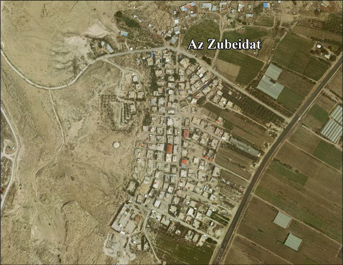
 az-Zubaidat Location of az-Zubaidat within Palestine | |
| Coordinates: 32°10′24″N 35°31′47″E / 32.17333°N 35.52972°ECoordinates: 32°10′24″N 35°31′47″E / 32.17333°N 35.52972°E | |
| Palestine grid | 199/175 |
| Governorate | Jericho |
| Government | |
| • Type | Village council |
| Population (2006) | |
| • Jurisdiction | 1,340 |
az-Zubaidat (Arabic: زبيدات) is a Palestinian village in the Jericho Governorate in the eastern West Bank situated in the Jordan Valley, located 27 kilometers north of Jericho. According to the Palestinian Central Bureau of Statistics, az-Zubaidat had a population of over 1,340 inhabitants in mid-year 2006.[1]
Location
Az Zubeidat is located 35.4 kilometers (22.0 mi) (horizontally) north of Jericho. It is bordered by the Jordan River to the east, Marj Na'ja to the north, Tubas to the west, and Marj al Ghazal to the south.[2]
History
After the Six-Day War in 1967, az-Zubaidat has been under Israeli occupation.
In 1970, Israel confiscated land from az-Zubaidat in order to construct the Israeli settlement of Argaman.[3]
After 1995, 1% of the az-Zubaidat land is defined as Area A, while the remaining 99% is in Area C.[3]
In 1997, refugees constituted 96% of the population.[4] The primary health care facilities for the village are designated by the Ministry of Health as level 2.[5] In January 2010 Robert Fisk reported that the EU-funded installation of a wast-water system was stopped by the Israelis, as part of what he called "ethnic cleansing via bureaucracy".[6]
References
- ↑ Projected Mid -Year Population for Jericho District by Locality 2004- 2006 Palestinian Central Bureau of Statistics
- ↑ Az Zubeidat Village Profile, ARIJ, p. 4
- 1 2 Az Zubeidat Village Profile, ARIJ, p. 17
- ↑ Palestinian Population by Locality and Refugee Status (1997) Palestinian Central Bureau of Statistics.
- ↑ West Bank Health care at the Library of Congress Web Archives (archived 2006-03-13)
- ↑ In the West Bank's stony hills, Palestine is slowly dying In the richest of the Occupied lands, Israeli bureaucracy is driving Palestinians out of their homes. Robert Fisk, The Independent, 30 January 2010
