Avelal
| Avelal | ||
|---|---|---|
| Civil parish | ||
 View of Avelal. | ||
| ||
 Avelal | ||
| Coordinates: 40°45′11″N 7°41′0″W / 40.75306°N 7.68333°WCoordinates: 40°45′11″N 7°41′0″W / 40.75306°N 7.68333°W | ||
| Country | Portugal | |
| Region | Centro | |
| Subregion | Dão-Lafões | |
| Intermunic. comm. | Viseu Dão Lafões | |
| District | Viseu | |
| Municipality | Sátão | |
| Area | ||
| • Total | 6.81 km2 (2.63 sq mi) | |
| Elevation | 622 m (2,041 ft) | |
| Population (2011) | ||
| • Total | 529 | |
| • Density | 78/km2 (200/sq mi) | |
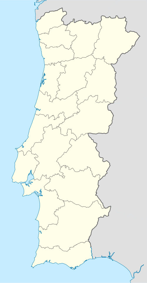
Avelal is a civil parish in the municipality of Sátão, Portugal. The population in 2011 was 529,[1] in an area of 6.81 km².[2]
References
- ↑ Instituto Nacional de Estatística (INE), Census 2011 results according to the 2013 administrative division of Portugal
- ↑ Direção-Geral do Território Archived 2014-09-29 at Archive.is
This article is issued from
Wikipedia.
The text is licensed under Creative Commons - Attribution - Sharealike.
Additional terms may apply for the media files.
