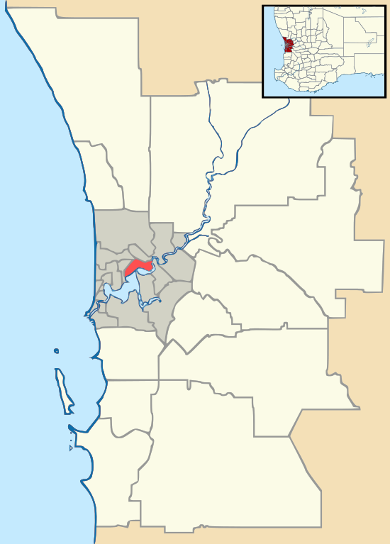
Aubin Grove, Western Australia
| Aubin Grove Perth, Western Australia | |||||||||||||||
|---|---|---|---|---|---|---|---|---|---|---|---|---|---|---|---|
 Aubin Grove Location in metropolitan Perth | |||||||||||||||
| Coordinates | 32°10′08″S 115°51′50″E / 32.169°S 115.864°ECoordinates: 32°10′08″S 115°51′50″E / 32.169°S 115.864°E | ||||||||||||||
| Population | 6,324 (2016 census)[1] | ||||||||||||||
| • Density | 2,530/km2 (6,550/sq mi) | ||||||||||||||
| Established | 2003 | ||||||||||||||
| Postcode(s) | 6164 | ||||||||||||||
| Area | 2.5 km2 (1.0 sq mi) | ||||||||||||||
| LGA(s) | City of Cockburn | ||||||||||||||
| State electorate(s) | Jandakot | ||||||||||||||
| Federal Division(s) | Fremantle | ||||||||||||||
| |||||||||||||||
Aubin Grove is a suburb of Perth, Western Australia in the City of Cockburn. The suburb was approved in 2003.
Aubin Grove is a new suburb in the City of Cockburn which was formerly part of the rural locality of Banjup. It is named after Henry John Aubin who leased agricultural land in the area in 1897.[2]
It has grown rapidly, from a population of 351 at the 2006 census[3] to 4,153 at the 2011 census.[1]
Transport
Aubin Grove railway station in neighbouring Atwell opened on 23rd April 2017. Transperth [4]
References
- 1 2 Australian Bureau of Statistics (27 June 2017). "Aubin Grove (State Suburb)". 2016 Census QuickStats. Retrieved 14 January 2018.

- ↑ Western Australian Land Information Authority. "History of metropolitan suburb names – A". Retrieved 2007-05-15.
- ↑ Australian Bureau of Statistics (25 October 2007). "Aubin Grove (State Suburb)". 2006 Census QuickStats. Retrieved 2008-10-05.
- ↑ Fact Sheet Public Transport Authority
This article is issued from
Wikipedia.
The text is licensed under Creative Commons - Attribution - Sharealike.
Additional terms may apply for the media files.