Asasa
| Asasa | |
|---|---|
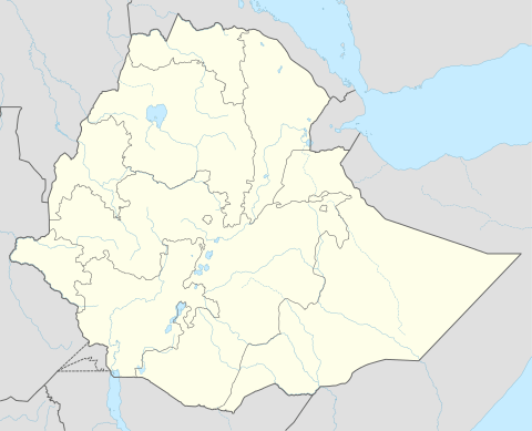 Asasa Location within Ethiopia | |
| Coordinates: 7°6′N 39°12′E / 7.100°N 39.200°ECoordinates: 7°6′N 39°12′E / 7.100°N 39.200°E | |
| Country |
|
| Region | Oromia |
| Zone | Mirab Arsi Zone |
| Elevation | 2,367 m (7,766 ft) |
| Population (2005) | |
| • Total | 19,506 |
| Time zone | UTC+3 (EAT) |
| Climate | Cwb |
Asasa is a town in southeastern Ethiopia. Located in the Mirab Arsi Zone of the Oromia Region, this town has a latitude and longitude of 07°06′N 39°12′E / 7.100°N 39.200°E with an elevation of 2367 meters above sea level. It is the administrative center of Gedeb Asasa woreda.
Asasa was the location of the Kulumsa experimental farm, a project of Chilalo Agricultural Development Union that ran from 1966 to 1968.[1] In the late 1980s, a Skills Training Center operated in this town, teaching useful trades like pot-making.[2]
Based on figures from the Central Statistical Agency in 2005, Asasa has an estimated total population of 19,506 of whom 9,865 are men and 9,641 are women.[3] The 1994 national census reported this town had a total population of 10,903 of whom 5,350 were men and 5,553 women.
Notes
- ↑ "Local History in Ethiopia"(Arga - Assussili) The Nordic Africa Institute website (accessed 27 May 2008)
- ↑ "Local History in Ethiopia" (Kuha - Kunzila) Archived 2007-09-27 at the Wayback Machine. The Nordic Africa Institute website (accessed 27 May 2008)
- ↑ CSA 2005 National Statistics Archived November 23, 2006, at the Wayback Machine., Table B.4