Ariha District
| Ariha District منطقة أريحا | |
|---|---|
| District | |
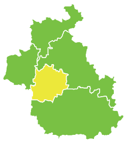 Map of Ariha District within Idlib Governorate | |
| Coordinates (Ariha): 35°49′N 36°36′E / 35.82°N 36.6°ECoordinates: 35°49′N 36°36′E / 35.82°N 36.6°E | |
| Country |
|
| Governorate | Idlib |
| Seat | Ariha |
| Subdistricts | 3 nawāḥī |
| Area | |
| • Total | 603.27 km2 (232.92 sq mi) |
| Population (2004)[1] | |
| • Total | 175,994 |
| • Density | 290/km2 (760/sq mi) |
| Geocode | SY0705 |
Ariha District (Arabic: منطقة أريحا, translit. manṭiqat Arīh̨ā) is a district of the Idlib Governorate in northwestern Syria. Administrative centre is the city of Ariha. At the 2004 census, the district had a population of 175,994.[1]
Sub-districts
The district of Ariha is divided into three sub-districts or nawāḥī (population as of 2004[1]):
- Ariha Nahiyah (ناحية أريحا): population 83,487.[2]
- Ihsim Nahiyah (ناحية إحسم): population 65,409.[3]
- Muhambal Nahiyah (ناحية محمبل): population 27,098.[4]
References
- 1 2 3 "2004 Census Data". UN OCHA. Retrieved 15 October 2015.
- ↑ "Arihah nahiyah population". Cbssyr.org. Archived from the original on 2013-01-12. Retrieved 2012-06-20.
- ↑ "Ehsem nahiyah population". Cbssyr.org. Archived from the original on 2013-02-06. Retrieved 2012-06-20.
- ↑ "Mhambel nahiyah population". Cbssyr.org. Archived from the original on 2013-02-06. Retrieved 2012-06-20.
This article is issued from
Wikipedia.
The text is licensed under Creative Commons - Attribution - Sharealike.
Additional terms may apply for the media files.