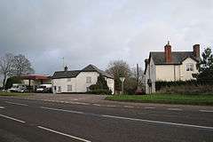
Appledore, Mid Devon
See Appledore for other places with the same name.
| Appledore | |
|---|---|
 | |
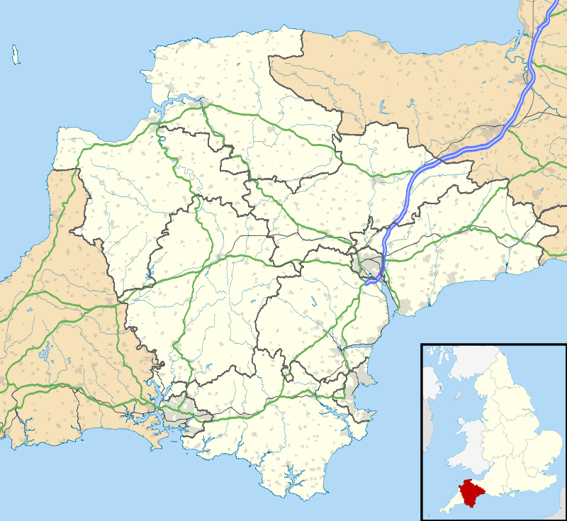 Appledore Appledore shown within Devon | |
| OS grid reference | ST066143 |
| District | |
| Shire county | |
| Region | |
| Country | England |
| Sovereign state | United Kingdom |
| Post town | CULLOMPTON |
| Postcode district | EX15 |
| EU Parliament | South West England |
| UK Parliament | |
Appledore is a small village near Uffculme in Devon, England, about 7 miles (11 kilometres) east of Tiverton.[1][2]
Appledore was listed in the Domesday Book of 1086. [3]
References
- ↑ Ordnance Survey: Landranger map sheet 181 Minehead & Brendon Hills (Dulverton & Tiverton) (Map). Ordnance Survey. 2009. ISBN 9780319231814.
- ↑ "Ordnance Survey: 1:50,000 Scale Gazetteer" (csv (download)). www.ordnancesurvey.co.uk. Ordnance Survey. 1 January 2016. Retrieved 30 January 2016.
- ↑ Professor J.J.N.Palmer. "Open Doomsday: Appledore". www.opendomesday.org. Anna Powell-Smith. Retrieved 31 January 2016.
External links

- Appledore in the Domesday Book
This article is issued from
Wikipedia.
The text is licensed under Creative Commons - Attribution - Sharealike.
Additional terms may apply for the media files.