Antah
| Antah | |
|---|---|
| Town | |
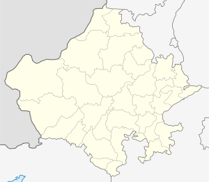
 Antah Location in Rajasthan, India  Antah Antah (India) | |
| Coordinates: 25°09′N 76°18′E / 25.15°N 76.30°ECoordinates: 25°09′N 76°18′E / 25.15°N 76.30°E | |
| Country |
|
| State | Rajasthan |
| District | Baran |
| Elevation | 253 m (830 ft) |
| Population (2017) | |
| • Total | 36,706 |
| Languages | |
| • Official | Hindi |
| Time zone | UTC+5:30 (IST) |
| ISO 3166 code | RJ-IN |
| Vehicle registration | RJ- |
Antah is a city and a municipality in Baran district in the state of Rajasthan, India.
Geography
Antah is located at 25°09′N 76°18′E / 25.15°N 76.30°E.[1] It has an average elevation of 253 m (830 ft).
Demographics
including cities, villages and towns (Provisional)|accessdate=2008-11-01|work= |publisher= Census Commission of India}}</ref> Antah had a population of 26,779. Males constitute 52% of the population and females 48%. Antah has an average literacy rate of 61%, higher than the national average of 59.5%; with 62% of the males and 38% of females literate. 17% of the population is under 6 years of age. antah is the beautiful town in baran district of rajasthan. national thermal power corporation power plant is also situated in anta. anta is 50 km far from kota city and 24 km far from baran city.
References
This article is issued from
Wikipedia.
The text is licensed under Creative Commons - Attribution - Sharealike.
Additional terms may apply for the media files.