Ampay
| Ampay | |
|---|---|
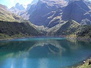 Ampay (in the background on the left) as seen from Usphaqucha | |
| Highest point | |
| Elevation | 5,236 m (17,178 ft) |
| Coordinates | 13°33′34″S 72°55′59″W / 13.55944°S 72.93306°WCoordinates: 13°33′34″S 72°55′59″W / 13.55944°S 72.93306°W |
| Geography | |
 Ampay Peru | |
| Location | Peru, Apurímac Region |
| Parent range | Andes |
Ampay[1] is a 5,235-metre-high (17,175 ft)[1] mountain in the Andes of Peru. It is located in the Apurímac Region, Abancay Province, on the border of the districts of Abancay, Huanipacaand Tamburco. The mountain lies in the Ampay National Sanctuary.
An intermittent stream named Q'illu Yakuyuq (Quechua for "the one with yellow water", also spelled Ceelloyacuyoc) originates west of the mountain. It flows to the northwest.[1]
See also
References
This article is issued from
Wikipedia.
The text is licensed under Creative Commons - Attribution - Sharealike.
Additional terms may apply for the media files.