Am Buachaille
| Am Buachaille | |
|---|---|
 Am Buachaille | |
 Am Buachaille | |
| OS grid reference | NC201652 |
| Coordinates | 58°32′15″N 5°05′30″W / 58.5374°N 5.0918°WCoordinates: 58°32′15″N 5°05′30″W / 58.5374°N 5.0918°W |
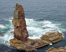
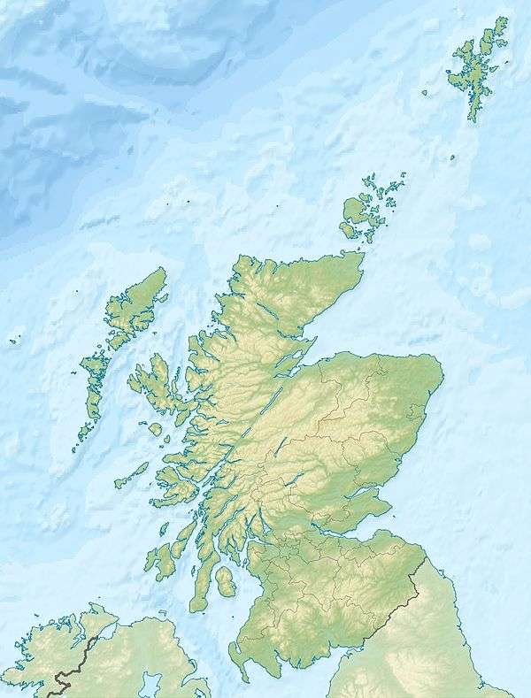
Am Buachaille is a sea stack, or vertical rock formation composed of Torridonian Sandstone, 1 mile (1.6 km) south-west of Sandwood Bay in the Scottish county of Sutherland. It lies at the tip of the Rubh' a Bhuachaille headland around 5 miles (8.0 km) north of Kinlochbervie.
The stack is 65 metres (213 ft) high[1] and was first climbed in 1968 by the mountaineers Tom Patey, Ian Clough and John Cleare.[2][3] At least four climbing routes are identified on Am Buachaille which is considered a "famous" sea stack climb[4] and has been called the "most serious of 'the big three' Scottish stacks"[5] and a "truly great stack".[6] The easiest route is graded Hard Very Severe (HVS) and access to the stack involves a 30 metres (98 ft) swim at low tide.[5][7]
The name means "the herdsman" or "the shepherd" in Scottish Gaelic.[2][5]
References
- ↑ Am Buachaille Sea-Stack, Sandwood Bay, Welcome to Scotland. Retrieved 2014-02-18.
- 1 2 Sandwood Bay is a beautiful beach shrouded in mystery, The Scotsman, 2010-07-13. Retrieved 2014-02-18.
- ↑ Sandwood Bay on walkhighlands.co.uk
- ↑ Am Buachaille, UK Climbing. Retrieved 2014-02-18.
- 1 2 3 Latter.G & MacInnes.H (2009) Scottish rock volume 2 - north, Pesda Press (p.297).
- ↑ North West Highlands. Retrieved 2014-02-18.
- ↑ Scottish sea stack Archived 2014-02-18 at Archive.is, Planet fear, 2005-10-10. Retrieved 2014-02-18.