Alula Airport
| Alula Airport | |||||||||||
|---|---|---|---|---|---|---|---|---|---|---|---|
| Summary | |||||||||||
| Airport type | Public | ||||||||||
| Owner | Puntland Ministry for Civil Aviation and Airports | ||||||||||
| Serves | Alula, Somalia | ||||||||||
| Elevation AMSL | 6 ft / 2 m | ||||||||||
| Coordinates | 11°57′30″N 50°44′55″E / 11.95833°N 50.74861°ECoordinates: 11°57′30″N 50°44′55″E / 11.95833°N 50.74861°E | ||||||||||
| Map | |||||||||||
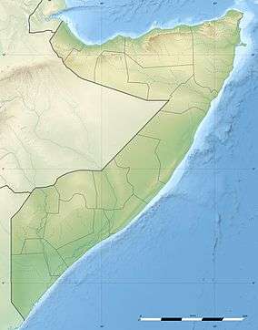 HCMA Location of the airport in Somalia | |||||||||||
| Runways | |||||||||||
| |||||||||||
Alula Airport (IATA: ALU, ICAO: HCMA) is an airport serving Aluula (Alula, Caluula), a Gulf of Aden coastal village in the Bari region of northeastern Somalia. The runway is 0.5 kilometres (0.3 mi) inland, paralleling the shore.
See also
- Transport in Somalia
- List of airports in Somalia


References
- ↑ Airport information for Alula Airport at Great Circle Mapper.
- ↑ Google Maps - Alula Airport
External links
- OpenStreetMap - Alula Airport
- OurAirports - Alula
- "Alula (ALU) Somalia". World-Airport-Codes. Retrieved 28 July 2013.
- Accident history for Alula Airport, Somalia) at Aviation Safety Network
This article is issued from
Wikipedia.
The text is licensed under Creative Commons - Attribution - Sharealike.
Additional terms may apply for the media files.