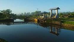
Alliance, Suriname
| Alliance | |
|---|---|
| Plantation | |
 | |
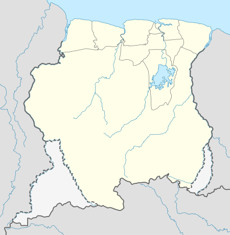 Alliance Location in Suriname | |
| Coordinates: 5°54′N 54°54′W / 5.900°N 54.900°W | |
| Country |
|
| District | Commewijne District |
| Resort (municipality) | Bakki |
| Time zone | UTC-3 |
Alliance is a town in Suriname, located on banks of the Suriname River in the district Commewijne.
History
This used to be a plantation. In 1936 - 1956 the manager used to be G.N. Gummels
Geography
It is located on the right side of the Suriname River
Economy
The economy is completely dependent on agriculture, mostly citrus. These then get sold in Paramaribo.
Transport
One takes a boat at Alkmaar
External links
References
This article is issued from
Wikipedia.
The text is licensed under Creative Commons - Attribution - Sharealike.
Additional terms may apply for the media files.