Aunglan, Myanmar
| Aunglan | |
|---|---|
| City | |
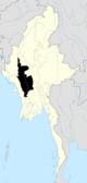
 Aunglan Location in Burma | |
| Coordinates: 19°22′N 95°13′E / 19.367°N 95.217°ECoordinates: 19°22′N 95°13′E / 19.367°N 95.217°E | |
| Country |
|
| Region |
|
| District | Thayet District |
| Township | Aunglan Township |
| Population | |
| • Total | 72,000 |
| Time zone | UTC+6.30 (MST) |
Aunglan (formerly known as Allanmyo & Myede) is a city in Thayet District of the Magway Region of Myanmar. It is a port on the left (eastern) bank of the Irrawaddy, across and just north of Thayetmyo,[1] between the cities of Pyay (Prome) , Taungdwingyi(Prome) and Magway. It is the administrative seat for Aunglan Township. As of 2010, the population was estimated at over 72,000.[2]
Transport
Since 1999, it has been served by a branch line of Myanmar Railways.
See also
Notes
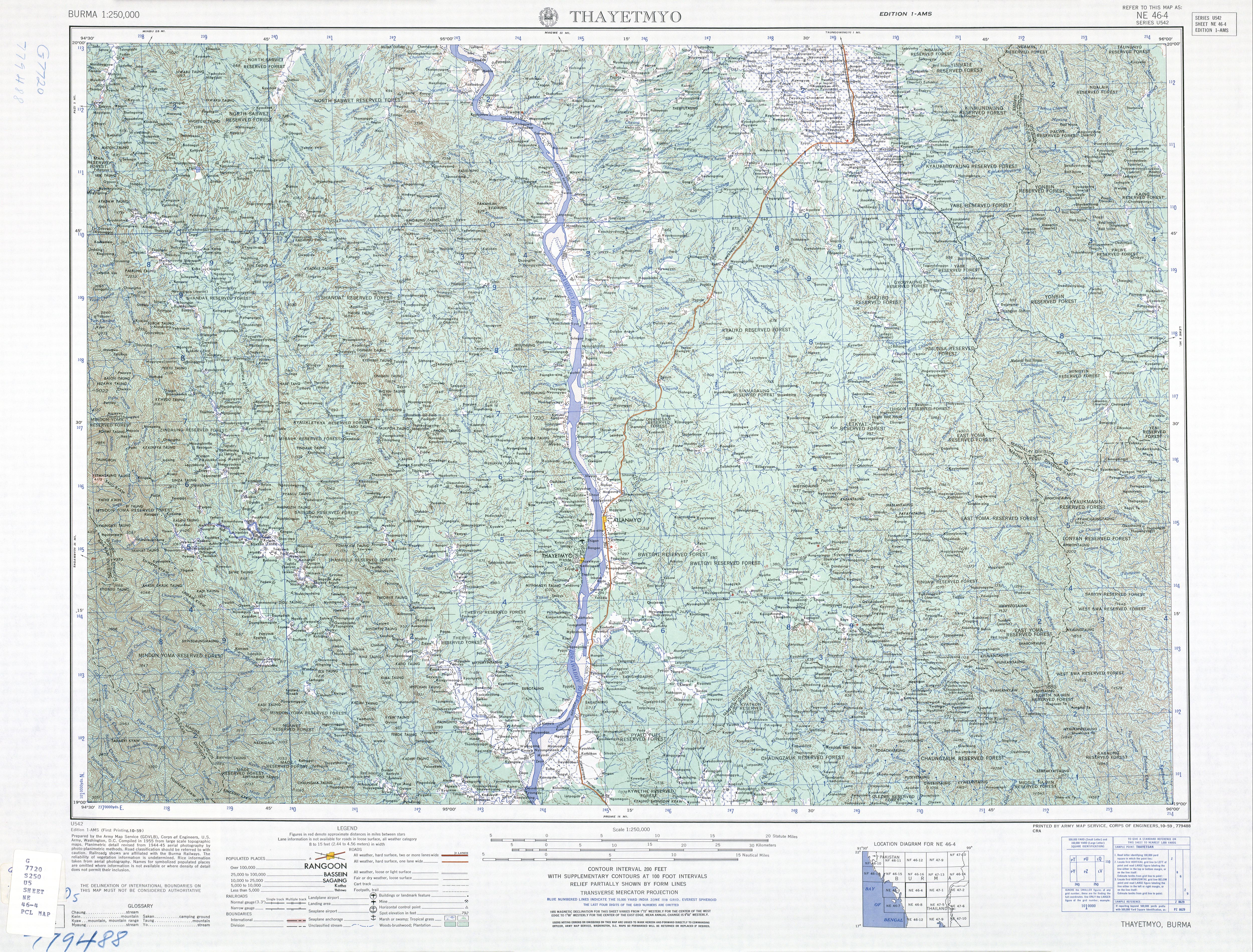
- ↑ Burma 1:250,000 topographic map, Series U542, NE 46-4 Thayetmyo U.S. Army Map Service, October 1959
- ↑ ""Myanmar: largest cities and towns and statistics of their population:calculation 2010"". Archived from the original on 2012-09-19. World Gazetteer
Capital: Myede | |
|
Capital: Magway | ||
| Gangaw District |
|   |
| Magway District | ||
| Minbu District | ||
| Pakokku District | ||
| Thayet District |
| |
| Main cities and towns | ||
This article is issued from
Wikipedia.
The text is licensed under Creative Commons - Attribution - Sharealike.
Additional terms may apply for the media files.