Alcocer de Planes
| Alcocer de Planes Alcosser de Planes | ||
|---|---|---|
| municipality | ||
| ||
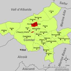 Location in the comarca Vinalopó Medio | ||
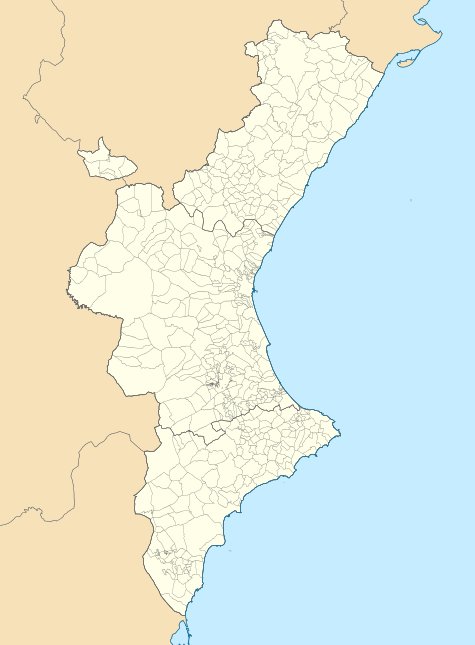 Alcocer de Planes Location within the Valencian Community | ||
| Coordinates: 38°47′40″N 0°24′09″W / 38.79444°N 0.40250°WCoordinates: 38°47′40″N 0°24′09″W / 38.79444°N 0.40250°W | ||
| Country | Spain | |
| Province | Alicante | |
| Comarca | Comtat | |
| Area | ||
| • Total | 4.39 km2 (1.69 sq mi) | |
| Elevation | 350 m (1,150 ft) | |
| Population (2006) | ||
| • Total | 194 | |
| • Density | 44.2/km2 (114/sq mi) | |
| • Language | Valencian | |
| Demonym(s) | Alcosserí, Alcosserina (Catalan) | |
| Distance to Alicante: | 80 km (50 mi) | |

Alcocer de Planes (Spanish: [alkoˈθeɾ ðe ˈplanes]) or Alcosser de Planes (Valencian: [alkoˈseɾ ðe ˈplanes]) is a municipality in the Valencian comarca of Comtat, in the province of Alicante, Spain.
It is situated on the shore of the Serpis river, south of the Serra de Benicadell, in the central part of the Foia de Cocentaina. It is bordered on the north by Gaianes, on the east by Planes, on the west by Muro d'Alcoi, and on the south by Benimarfull.
External links
- Statistics for Alcocer de Planes. Unidad de Documentación de Presidencia de la Diputación de Alicante (in Spanish)
| Wikimedia Commons has media related to Alcosser de Planes. |
Municipalities of Comtat | ||
|---|---|---|
This article is issued from
Wikipedia.
The text is licensed under Creative Commons - Attribution - Sharealike.
Additional terms may apply for the media files.