Alcantarilha River
| Alcantarilha River (Ribeiro de Alcantarilha) | |
| Ribeiro de Enxurrada[1] | |
| River | |
.JPG) Footbridge over the Alcantarilha river in the rivers saltmarshes | |
| Country | Portugal |
|---|---|
| Region | Algarve |
| District | Faro |
| Municipality | Silves |
| Source | |
| - location | Miões, Tunes, Algarve |
| - coordinates | 37°11′58.6″N 8°17′10.0″W / 37.199611°N 8.286111°W |
| Mouth | The south central coast of the Algarve into the Atlantic at Armação de Pêra |
| - coordinates | 37°05′55″N 8°21′06″W / 37.098646°N 8.351795°WCoordinates: 37°05′55″N 8°21′06″W / 37.098646°N 8.351795°W |
| Length | 12.2 mi (20 km), North east to South |
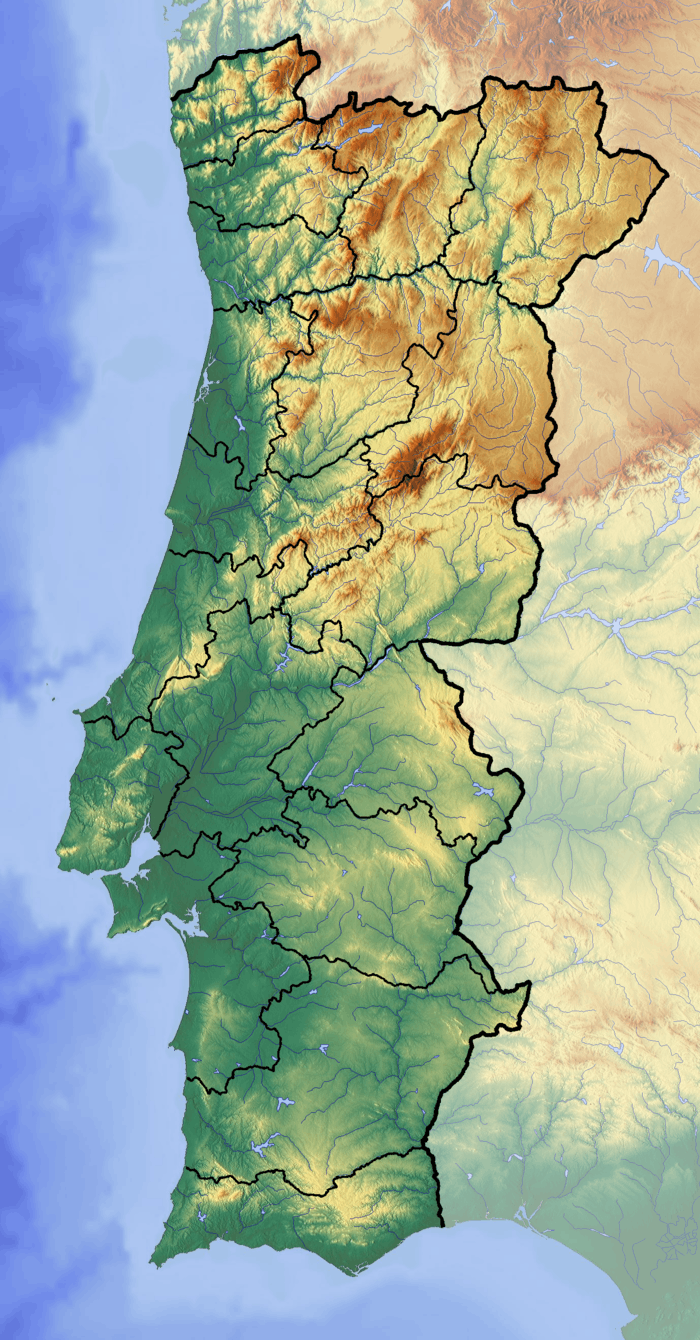 Red Dot = Alcantarilha River mouth | |
Alcantarilha River is a small river in the south central region of the Algarve, Portugal. The river begins at the conflux of three tributary streams a little south of the village of Miões in municipality of Silves.[2][3] Downstream the river also has several further tributaries including the Algoz River (Ribeiro de Algoz). River runs for a length of 12.2 miles (19.6 km) from its conflux to the mouth at the Atlantic ocean in the south central Algarve.
Description
The Armação de Pêra wetlands
The river runs south towards the south coast and its mouth is at Armação de Pêra.[4][5] At Armação de Pêra the river is the main contributory to an area of shallow salt marsh which over the years has been neglected and is polluted.[6] Plans have been made to improve the environment in the near future as the wetlands are an important habitat for water fowl and a wintering and nesting site for a numerous species of birds. The wetland is also an important stopping point for thousands of migrating birds.
References
- ↑ Garcia Domingues, José Domingos. Silves: Tourist Guide to the Town and Borough. Reference to alternative name of Ribeiro de Enxurrada. Câmara Municipal de Silves. p. 117.
- ↑ "49-D Silves" (Map). Sheet map scale 1:50 000 Carta Corografica De Portugal – 49D Map showing the confluence of the streams that form the Alcantarilha River. Instituto Geografico Portugues. ISBN 9789728867102.
- ↑ "49-D Silves". Listing of the Map on Stanford’s website. Stanfords Bookshop. Retrieved 17 September 2014.
- ↑ "52-B Albufeira". Listing of the Map on Stanford’s website. Stanfords Bookshop. Retrieved 15 September 2014.
- ↑ "52-B Albufeira" (Map). Sheet map scale 1:50 000 Carta Corografica De Portugal – 52B Map showing the Alcantarilha River and the wetlands at Armacao de Pera. Instituto Geografico Portugues.
- ↑ "Algarvepress – Monthly Archives: March 2013 - Members of PS want regeneration of Ribeira Alcantarilha and Marshland Armacao de Pera". reference to the neglected and polluted wetland and river. AlgarvePress. Retrieved 17 September 2014.
Rivers and Streams of the Algarve | ||
|---|---|---|
 | ||