Alba, Michigan
| Alba, Michigan | |
|---|---|
| Unincorporated community | |
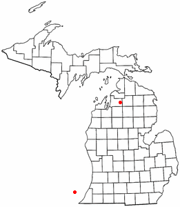 Location of Alba, Michigan | |
| Coordinates: 44°58′29″N 84°58′07″W / 44.97472°N 84.96861°WCoordinates: 44°58′29″N 84°58′07″W / 44.97472°N 84.96861°W | |
| Country | United States |
| State | Michigan |
| County | Antrim |
| Area[1] | |
| • Total | 2.723 sq mi (7.05 km2) |
| • Land | 2.723 sq mi (7.05 km2) |
| • Water | 0 sq mi (0 km2) |
| Elevation | 1,178 ft (359 m) |
| Population (2010)[1] | |
| • Total | 295 |
| • Density | 110/sq mi (42/km2) |
| Time zone | UTC-5 (Eastern (EST)) |
| • Summer (DST) | UTC-4 (EDT) |
| Area code(s) | 231 |
| GNIS feature ID | 619894[2] |
Alba is an unincorporated community and census-designated place (CDP) located in Antrim County in the U.S. state of Michigan. As of the 2010 census it had a population of 295.[3] It is situated on U.S. Highway 131 just north of Mancelona. Half of the community is in Star Township, and half is in Chestonia Township. In the 1900s, it was the site of the Detroit and Charlevoix and Grand Rapids and Indiana railroad junction.
Alba was established in 1876.[4]
Geography
Alba is at 44°58′29″N 84°58′07″W / 44.97472°N 84.96861°W in northern Michigan, and the FIPS place code is 00900. The elevation is 1,179 feet (359 m) above sea level.[2] The Alba ZIP code 49611 provides P.O. Box only service[5] for an area around the community.[6]
According to the U.S. Census Bureau, the Alba CDP has an area of 2.7 square miles (7.1 km2), all land.[3]
References
- 1 2 "2010 Census Gazetteer Files - Places: Michigan". U.S. Census Bureau. Retrieved May 4, 2018.
- 1 2 U.S. Geological Survey Geographic Names Information System: Alba, Michigan
- 1 2 "Geographic Identifiers: 2010 Demographic Profile Data (G001): Alba CDP, Michigan". U.S. Census Bureau, American Factfinder. Retrieved June 10, 2013.
- ↑ Romig, Walter (1986). Michigan Place Names. Detroit: Wayne State University Press. p. 14. ISBN 978-0-8143-1838-6 – via Google Books.
- ↑ ZIP Code Lookup Archived January 1, 2008, at the Wayback Machine. United States Postal Service
- ↑ 49611 5-Digit ZCTA, 496 3-Digit ZCTA - Reference Map - American FactFinder, U.S. Census Bureau, 2000 census
Municipalities and communities of Antrim County, Michigan, United States | ||
|---|---|---|
| Villages | 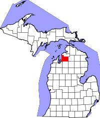 | |
| Townships | ||
| Unincorporated communities | ||
| Indian reservation | ||
| Footnotes | ‡This populated place also has portions in an adjacent county or counties | |