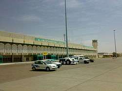
Al Ain International Airport
| Al-Ain International Airport مطار العين الدولي | |||||||||||
|---|---|---|---|---|---|---|---|---|---|---|---|
|
| |||||||||||
 | |||||||||||
| Summary | |||||||||||
| Airport type | Public | ||||||||||
| Operator | Abu Dhabi Airports Company | ||||||||||
| Serves | Al Ain | ||||||||||
| Opened | 31 March 1994 | ||||||||||
| Time zone | UAE Standard Time (UTC+04:00) | ||||||||||
| Elevation AMSL | 866 ft / 264 m | ||||||||||
| Coordinates | 24°15′42″N 055°36′33″E / 24.26167°N 55.60917°ECoordinates: 24°15′42″N 055°36′33″E / 24.26167°N 55.60917°E | ||||||||||
| Map | |||||||||||
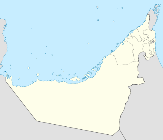 OMAL Location in the UAE | |||||||||||
| Runways | |||||||||||
| |||||||||||
Al Ain International Airport (IATA: AAN, ICAO: OMAL) (Arabic: مطار العين الدولي; transliterated: Matar al-Ayn Al-Dowaly) is an airport located 8 nautical miles (15 km; 9.2 mi) west north west[1] of Al Ain, United Arab Emirates. It was opened on 31 March 1994. 14 flights and 4,000 passenger pass through the airport each week.[2] It is the fifth busiest airport in UAE .
Airlines and destinations
| Airlines | Destinations |
|---|---|
| Air India Express | Calicut |
| Nile Air | Cairo |
Accidents and incidents
- On 27 February 2011, a Grumman 21T eight seater aircraft crashed shortly after takeoff killing four on board.[3]
References
- 1 2 United Arab Emirates AIP Archived 30 December 2013 at the Wayback Machine. (login required)
- ↑ Salem, Ola (9 November 2011). "1994: Capital opens another air route". The National. Retrieved 10 November 2011.
- ↑ "Four Americans dead in plane crash". Eturbonews. Retrieved 28 February 2011.
This article is issued from
Wikipedia.
The text is licensed under Creative Commons - Attribution - Sharealike.
Additional terms may apply for the media files.