Akjoujt Airport
| Akjoujt Airport | |||||||||||
|---|---|---|---|---|---|---|---|---|---|---|---|
| Summary | |||||||||||
| Airport type | Public | ||||||||||
| Serves | Akjoujt | ||||||||||
| Elevation AMSL | 403 ft / 123 m | ||||||||||
| Coordinates | 19°43′40″N 14°22′40″W / 19.72778°N 14.37778°WCoordinates: 19°43′40″N 14°22′40″W / 19.72778°N 14.37778°W | ||||||||||
| Map | |||||||||||
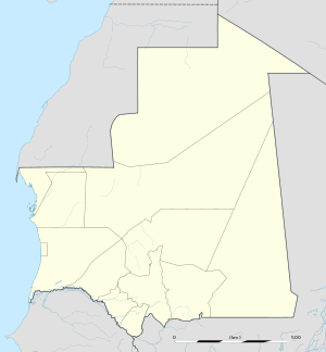 AJJ Location of the airport in Mauritania | |||||||||||
| Runways | |||||||||||
| |||||||||||
|
Source: Google Maps[1] | |||||||||||
Akjoujt Airport (IATA: AJJ, ICAO: GQNJ) is an airport serving the town of Akjoujt in Mauritania. A second runway (03/21) is centerline marked, but has structures built on it.
See also

References
- OurAirports - Mauritania
- Great Circle Mapper - Akjoujt
- Akjoujt
- Google Earth
This article is issued from
Wikipedia.
The text is licensed under Creative Commons - Attribution - Sharealike.
Additional terms may apply for the media files.