Adbolton
| Adbolton | |
|---|---|
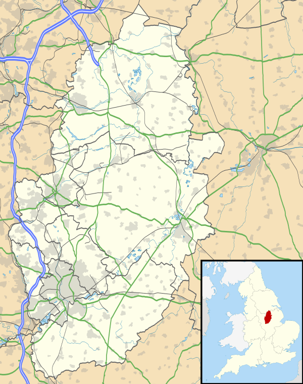 Adbolton Adbolton shown within Nottinghamshire | |
| OS grid reference | SK6240 |
| Shire county | |
| Region | |
| Country | England |
| Sovereign state | United Kingdom |
| Post town | NOTTINGHAM |
| Postcode district | NG4 |
| Police | Nottinghamshire |
| Fire | Nottinghamshire |
| Ambulance | East Midlands |
| EU Parliament | East Midlands |
Adbolton is a village in the English county of Nottinghamshire on the south bank of the River Trent one mile west of Holme Pierrepont.[1][2] It is in the Netherfield and Colwick ward of the Borough of Gedling.
Adbolton was listed in the Domesday book of 1086.[3]
References
- ↑ Ordnance Survey: Landranger map sheet 129 Nottingham & Loughborough (Melton Mowbray) (Map). Ordnance Survey. 2014. ISBN 9780319231623.
- ↑ "Ordnance Survey: 1:50,000 Scale Gazetteer" (csv (download)). www.ordnancesurvey.co.uk. Ordnance Survey. 1 January 2016. Retrieved 30 January 2016.
- ↑ Professor J.J.N.Palmer. "Open Doomsday: Adbolton". www.opendomesday.org. Anna Powell-Smith. Retrieved 31 January 2016.
External links
- Adbolton in the Domesday Book
This article is issued from
Wikipedia.
The text is licensed under Creative Commons - Attribution - Sharealike.
Additional terms may apply for the media files.