Acuña Municipality
| Acuña | ||
|---|---|---|
| Municipality | ||
| ||
 Municipality of Acuña in Coahuila | ||
|
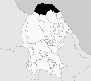
Acuña Location in Mexico | ||
| Coordinates: 29°30′N 101°45′W / 29.500°N 101.750°WCoordinates: 29°30′N 101°45′W / 29.500°N 101.750°W | ||
| Country |
| |
| State | Coahuila | |
| Municipal seat | Ciudad Acuña | |
| Area | ||
| • Total | 11,487.7 km2 (4,435.4 sq mi) | |
| Population (2015) | ||
| • Total | 181,426 | |

Acuña is one of the 38 municipalities of Coahuila, in north-eastern Mexico. The municipal seat lies at Ciudad Acuña, which contained over 98% of the municipality's population in 2010. The municipality covers an area of 11,487.7 km² and is located on the international border between Mexico and the USA, here formed by the Río Bravo del Norte (Rio Grande), adjacent to the U.S. state of Texas.
In 2015, the municipality had a total population of 181,426 inhabitants. Acuña is currently the fastest growing city in Mexico.[1]
Towns and villages
The largest localities (cities, towns, and villages) are:
| Name | 2010 Census Population |
|---|---|
| Ciudad Acuña | 134,233 |
| Las Cuevas | 399 |
| Calles | 373 |
| Las Torres | 274 |
| Balcones | 263 |
| Total Municipality | 136,755 |
Adjacent municipalities and counties
- Jiménez Municipality - southeast
- Zaragoza Municipality - south
- Múzquiz Municipality - south
- Ocampo Municipality - southwest
- Brewster County, Texas - northwest
- Terrell County, Texas - north
- Val Verde County, Texas - northeast
References
- ↑ Archived 2014-11-06 at the Wayback Machine.,"Censo de Población y Vivienda 2010: Acuña, Coahuila de Zaragoza," accessed November 6, 2014

This article is issued from
Wikipedia.
The text is licensed under Creative Commons - Attribution - Sharealike.
Additional terms may apply for the media files.