A6004 road (Great Britain)
The A6004 is Loughborough's ring road. It is 4.4 miles long and passes through the town's suburbs.
Route
The A6004 starts at One Ash Roundabout, just south of Loughborough, where it intersects with the A6 and Loughborough Road. It then heads north, via Terry Yardley Way. It passes through Woodthorpe Roundabout, where it intersects with Main Street (which leads into the hamlet of Woodthorpe), Allendale Road, and Carnation Road. A new Aldi supermarket is proposed here[1].
From there it runs via Ling Road, a former residential road in Shelthorpe. When Ling Road was upgraded in 2004, it became a dual carriageway road, which created certain problems. Vehicles can only turn right out of Woodthorpe Road, and Kinchbus 11 has to turn left into Ling Road and make a U-turn around at Park Road Roundabout to get from Beaumont Road and Woodthorpe Road. At Park Road Roundabout, the road changes name to Epinal Way. Park Road roundabout is where Shelthorpe's main group of shops are, including a McDonald's, a OneStop convenience store, and a Tesco hypermarket. Between Park Road and Beacon Road roundabouts Epinal Way runs alongside Lansdowne Drive.
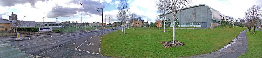
After Beacon Road, it next runs alongside allotments to Forest Road. The next section of Epinal Way mainly runs in between the University and Loughborough College. The next major intersection is where it crosses Ashby Road (A512) at a roundabout. The section of Epinal Way between here and Garendon Road was formerly part of the old road between Ashby Road and Thorpe Acre village. Afterwards it runs between the fire station and Loughborough Hospital. At the next roundabout (Alan Moss Road) it takes a right turn into Alan Moss Road. This road has four residential roads connecting onto it ONLY on the north side.
It crosses the A6 at a crossroads. At this junction there have been several accidents involving articulated trucks turning left from Derby Road southbound to Belton Road. Also, in spring 2018, the layout of the junction has been altered, so that vehicles from Derby Road southbound cannot turn right into Alan Moss Road. From there the road changes name again, to Belton Road. The scenery also changes, as it passes through the main industrial estate in Loughborough. On the northern side of the road, there is a Sandicliffe car dealership for Ford, Mazda, and Nissan, a Home Bargains[2], a Wickes, Loughborough's existing Aldi store, and a B&Q. On the south side, there are more car dealerships. The road then runs alongside the Grand Union Canal . It then runs through the site of an old factory, then joins the original section of Belton Road until it reaches Meadow Lane crossroads. From there it turns left onto Meadow Lane, then at another crossroads turns right onto Station Boulevard[3], a new road built alongside the Midland Mainline, and ends at Loughborough Midland Station, at its junction with Nottingham Road (A60).
History
Formerly the A6004 ran through Park Road and Shelthorpe Road.
Also, before Station Boulevard was built, the road went straight at Meadow Lane through Ratcliffe Road.[4]
Formerly Belton Road was shorter, ending at Bottleacre Lane.
Also, Epinal Way and Garendon road were formerly named Thorpe Road, as it was the old road to Thorpe Acre.
The A6004 was on the planning maps as far back as the 1930s, and land was reserved for it. It was to be Loughborough's bypass. However, it was not constructed until the 1970s. By this time, the town had outgrown the land reserved for the bypass.[5] The final section was completed around 2005.
References
- ↑ Rush, Andy (2018-01-31). "Aldi amends second Loughborough store plans". loughborough. Retrieved 2018-04-23.
- ↑ Higgins, Zoe (2017-05-05). "Home Bargains confirm plans for second Loughborough store". loughborough. Retrieved 2018-04-23.
- ↑ Echo, Loughborough (2010-10-13). "Green light for railway station platform extension". loughborough. Retrieved 2018-04-23.
- ↑ "Google Maps". Google Maps.
- ↑ Wix, Keil, Don, Ian (2002). Charnwood's Silver Jubilee. Loughborough, Leicestershire: Borough of Charnwood. pp. 1, page 12.