1816 Guatemala earthquake
 Guatemala City Quetzaltenango San Marcos | |
| UTC time | 1816-07-22 15:30 |
|---|---|
| Local date | July 22, 1816 |
| Local time | 09:30 |
| Magnitude | ~7.5 Mw (est.) |
| Depth | 30.0 km (18.6 mi) |
| Epicenter | 15°30′N 91°30′W / 15.5°N 91.5°WCoordinates: 15°30′N 91°30′W / 15.5°N 91.5°W |
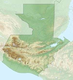
| Areas affected | Guatemala |
| Max. intensity | IX (Violent) |
| Casualties | 23 killed |
The 1816 Guatemala earthquake occurred at 15:30 UTC on 22 July. It had an estimated magnitude of 7.5 to 7.75 on the Mw and a maximum perceived intensity of IX (Violent) on the Mercalli intensity scale. It was caused by movement on the Chixoy-Polochic Fault. The area affected by shaking up to intensity VII (Very strong) was at least 13,000 km2. At least 23 deaths were reported.[1] The discovery of this earthquake 175 years after it occurred was based on study of historical documents, and is notable for showing that this portion of Guatemala, previously believed by many planners to be of low seismic risk, has experienced, and is at further risk of, very large earthquakes.
See also
References
- ↑ White, RA (1985). "The Guatemala earthquake of 1816 on the Chixoy-Polochic fault" (PDF). Bulletin of the Seismological Society of America. Seismological Society of America. 75 (2): 455–73.
This article is issued from
Wikipedia.
The text is licensed under Creative Commons - Attribution - Sharealike.
Additional terms may apply for the media files.