Ľubiša
| Ľubiša | |
|---|---|
| Village | |
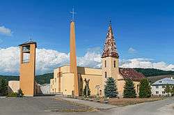 Skyline of Ľubiša in Slovakia | |
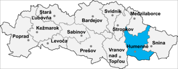 Location of Humenné District in the Prešov Region. | |
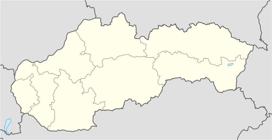 Ľubiša Location of the Ľubiša village in Slovakia | |
| Coordinates: 49°00′10″N 21°56′50″E / 49.00278°N 21.94722°E | |
| Country |
|
| Region |
|
| District | Humenné |
| Status | Village |
| Government | |
| • Starosta Mayor | Jozef Sklenčár |
| • Term | 2014-2018 |
| Area | |
| • Total | 10.021 km2 (3.869 sq mi) |
| Elevation | 174 m (571 ft) |
| Population | |
| • Total | 840 |
| • Density | 84/km2 (220/sq mi) |
| Time zone | UTC+1:00 (CET) |
| • Summer (DST) | UTC+2:00 (CEST) |
| Postal code | 067 11 |
Ľubiša (Rusyn: Любіша, Hungarian: Szerelmes) is a village and municipality in Humenné District in the Prešov Region of north-east Slovakia.
History
In historical records the village was first mentioned in 1410.
Geography
The municipality lies at an altitude of 174 metres and covers an area of 10.021 km². It has a population of about 840 people.
External links
Coordinates: 49°00′10″N 21°56′50″E / 49.00278°N 21.94722°E
This article is issued from
Wikipedia.
The text is licensed under Creative Commons - Attribution - Sharealike.
Additional terms may apply for the media files.