Čata
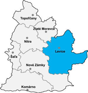
Location of Levice District in the Nitra Region
Čata (Hungarian: Csata) is a village and municipality in the Levice District in the Nitra Region of south-west Slovakia.
History
In historical records the village was first mentioned in 1386.
Geography
The village lies at an altitude of 132 metres and covers an area of 14.771 km². It has a population of about 1200 people.
Facilities
The village has a public library a gym and a football pitch.
Genealogical resources
The records for genealogical research are available at the state archive "Statny Archiv in Nitra, Slovakia"
- Roman Catholic church records (births/marriages/deaths): 1700-1896 (parish B)
- Reformated church records (births/marriages/deaths): 1784-1895 (parish B)
See also
External links
Coordinates: 47°57′N 18°40′E / 47.950°N 18.667°E
This article is issued from
Wikipedia.
The text is licensed under Creative Commons - Attribution - Sharealike.
Additional terms may apply for the media files.