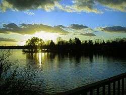
Zeuthener See
The Zeuthener See (![]()
| Zeuthener See | |
|---|---|
 | |
 Zeuthener See 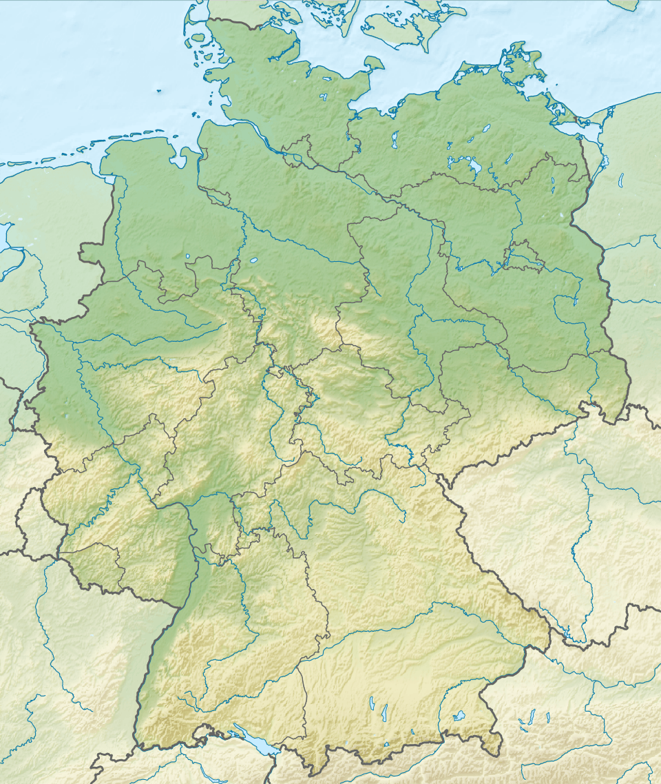 Zeuthener See | |
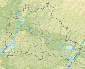
| Location | Brandenburg, Berlin |
| Coordinates | 52°21′23″N 13°38′19″E |
| Primary inflows | Dahme River |
| Primary outflows | Dahme River |
| Basin countries | Germany |
| Max. length | ca. 4 km (2.5 mi) |
| Max. width | 840 m (2,760 ft) |
| Surface area | 2.33 km2 (0.90 sq mi) |
| Max. depth | 4.4 m (14 ft) |
| Water volume | 5,840,000 m3 (206,000,000 cu ft) |
| Surface elevation | 34 m (112 ft) |
| Islands | Zeuthener Wall |
| Settlements | Zeuthen |
Overview
While the Brandenburg municipalities of Zeuthen and Eichwalde are situated on its western shore, the wooded eastern bank and the tiny Zeuthener Wall island belong to the Berlin borough of Treptow-Köpenick. The polymictic lake is traversed by the River Dahme.
The Dahme flows into the Zeuthener See at its southern end, where it meets the linked Grosser Zug and Krossinsee lakes. It flows out by the Berlin suburb of Schmöckwitz, where the Zeuthener See meets the Langer See and Seddinsee lakes. The Zeuthener See is navigable, and carries traffic from the Berlin area to the upstream reaches of the Dahme.[1]
References
- Sheffield, Barry (1995). Inland Waterways of Germany. St Ives: Imray Laurie Norie & Wilson. pp. 113–122. ISBN 0-85288-283-1.
External links

- Nixdorf, B.; et al. (2004), "Zeuthener See", Dokumentation von Zustand und Entwicklung der wichtigsten Seen Deutschlands (in German), Berlin: Umweltbundesamt, p. 28