Zapotal District
Zapotal District is a district and village in the canton of Nandayure, Guanacaste Province in Costa Rica.[1]
Zapotal | |
|---|---|
District and village | |
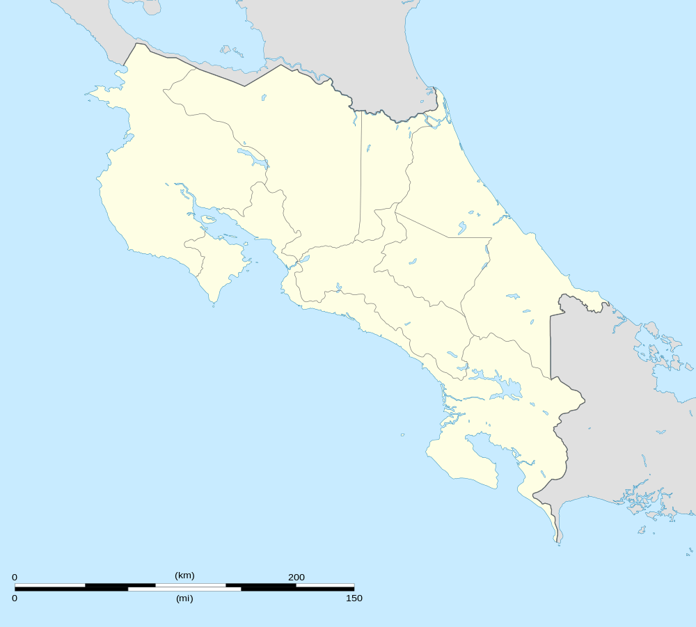 Zapotal Location in Costa Rica | |
| Coordinates: 10°00′02″N 85°18′20″W | |
| Country | Costa Rica |
| Province | Guanacaste |
| Canton | Nandayure |
| Area | |
| • Total | 103.53 km2 (39.97 sq mi) |
| Elevation | 500 m (1,600 ft) |
| Population (June 2013) | |
| • Total | 1,242 |
| • Density | 12/km2 (31/sq mi) |
| Postal code | 50903 |
Located on the Nicoya Peninsula, the district has a population of around 1,250 people.[2]
Villages
Administrative center of the district is the village of Zapotal.
Other villages in the district are Altos de Mora, Cabeceras de Río Ora, Camaronal, Carmen, Cuesta Bijagua, Leona, Manzanales, Río Blanco Este, Río de Oro, Río Ora, San Martín, San Pedro and Soledad.[1]
This article is issued from Wikipedia. The text is licensed under Creative Commons - Attribution - Sharealike. Additional terms may apply for the media files.