Yukaghir Highlands
The Yukaghir Highlands (Russian: Юкагирское нагорье)[1] are a mountainous area in the Sakha Republic and Magadan Oblast, Far Eastern Federal District, Russia.
| Yukaghir Highlands | |
|---|---|
| Юкагирское нагорье | |
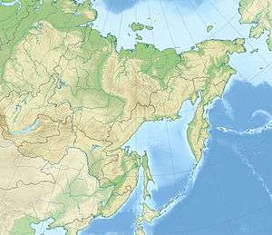 Location in the Far Eastern Federal District, Russia | |
| Highest point | |
| Peak | Chubukulakh |
| Elevation | 1,117 m (3,665 ft) |
| Dimensions | |
| Length | 500 km (310 mi) |
| Width | 300 km (190 mi) |
| Geography | |
| Country | Russia |
| Federal subject | Sakha/Magadan Oblast |
| Range coordinates | 66°25′N 154°0′E |
| Parent range | East Siberian System |
| Geology | |
| Age of rock | Mesozoic (North) and Precambrian, Paleozoic and Triassic (South) |
| Type of rock | Volcanic rocks (North) and Metamorphic rocks (South) |
The area is named after the Yukaghir people.
Geography
The Yukaghir Highlands are a mountain region located at the eastern limits of the Sakha Republic and the northwestern end of Magadan Oblast. They include two medium height mountain ranges, the Chubukulakh Range and the Siversky Range, as well as a plateau, the Yukaghir Tableland.[2]
The average height of the plateau surface is between 300 meters (980 ft) and 700 meters (2,300 ft). In the ranges a few scattered mountains rise above 1,000 meters (3,300 ft) and the highest point is 1,117 metres (3,665 ft) high Chubukulakh (Чубукулах).
The highlands are limited by the Kolyma Lowland to the west, with the Kolyma Mountains to the east and southeast.[3] There are sparse forests of larch in the lower slopes of the mountain ranges and thickets of dwarf stone pine at higher altitudes. The mountaintops are covered with tundra.[4] The Arctic Circle passes through the area.
Hydrography
The Yukaghir Highlands separate the basins of the Kolyma and Omolon rivers, both flowing roughly northwards. The Berezovka River and the Korkodon have their sources within the area of the mountains.[5]
References
- Proceedings of the Institute of Geology and Geophysics. Issue 383. Quaternary deposits of the extreme northeast of the USSR(in Russian
- Oleg Leonidovič Kryžanovskij, A Checklist of the Ground-beetles of Russia and Adjacent Lands. p. 16
- Google Earth
- Юкагирского плоскогорья, Great Soviet Encyclopedia
- Berezovka, Great Soviet Encyclopedia