Witu, Kenya
Witu[1] is a small market town in the Lamu County of Kenya, East Africa. Formerly it was the capital of the Witu Sultanate.
Witu | |
|---|---|
Town | |
 The Post Office at Witu, on the way to Lamu | |
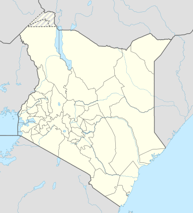 Witu Location in Kenya | |
| Coordinates: 02°23′20″S 40°26′16″E | |
| Country | Kenya |
| Counties | Lamu County |
| Elevation | 22 m (72 ft) |
| Population (2013 Estimate) | |
| • Total | 5,380 |
| Time zone | UTC+3 (EAT) |
Location
It is 5 kilometres (3.1 mi) west of the Witu Forest. It is on the Garsen–Witu–Lamu Highway (C-112) between Mkunumbi, 33 kilometres (20.5 mi) to the east, and Garsen, 44 kilometres (27.3 mi) to the west. A secondary road leads 21 kilometres (13.0 mi) south to Kipini on the coast.[2] The coordinates of Witu, Kenya are: 2°23'20.0"S, 40°26'16.0"E (Latitude:-2.388897; Longitude:40.437769).[3] The average elevation of the town is about 22 metres (72 ft).[4]
Population
As of September 2013, the population of the town was estimated at 5,380.[5]
Wituland
Witu was the centre of an inland empire of approximately 3,000 square kilometres (1,200 sq mi). It was inhabited by slaves fleeing the Zanzibar slave trade, and was thus a target of attacks from the Sultanate of Zanzibar, circa 1850.
See also
References
- Witu (Approved) at GEOnet Names Server, United States National Geospatial-Intelligence Agency
- Trillo, Richard (2010). The Rough Guide to Kenya. London: Penguin. pp. 474–475. ISBN 978-1-84836-973-3.
- Google (9 April 2016). "Location of Witu, Lamu County, Kenya" (Map). Google Maps. Google. Retrieved 9 April 2016.
- FMN (9 April 2016). "Elevation of Witu, Kenya". Floodmap.net (FMN). Retrieved 9 April 2016.
- MBC (6 September 2013). "Population of Witu, Kenya". Mongabay.com (MBC). Retrieved 9 April 2016.