Wharerata
Wharerata or Bartletts is a rural coastal community in the Gisborne District of New Zealand's North Island. It is located on State Highway 2 between Wairoa and Gisborne.[1][2]
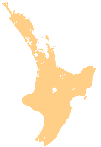
Wharerata | |
|---|---|
 Wharerata | |
| Coordinates: 38°52′50″S 177°52′20″E | |
| Country | New Zealand |
| Region | Gisborne |
| District | Gisborne District |
| Government | |
| • MP | Stuart Nash (Labour) |
| Postcode(s) | 4078 |
| Local iwi | Ngāi Tāmanuhiri |
The landscape consists of rocky ranges,[3] with views of the surrounding area.[4]
The local Rangiwaho Marae is a meeting place for the Ngāi Tawehi, Ngāti Kahutia, Ngāti Rangitauwhiwhia, Ngāti Rangiwaho and Ngāti Rangiwahomatua hapū of the Ngāi Tāmanuhiri iwi.[5] It includes a meeting hall of the same name,[6] and a dining hall built in 2018.[2]
Since the 19th century the area has also been settled by European farmers, who have experienced hardship due to isolation and extreme weather.[7]
An Indian man, who had overstayed his visa, was killed in the Wharerata Forest in 1993.[8] His remains were found by forestry workers 12 years later.[9]
References
- Hariss, Gavin. "Ngatapa, Gisborne". topomap.co.nz. NZ Topo Map.
- "Marae's new dining hall opened". Gisborne Herald. 22 June 2018.
- "Fallen rocks in Wharerata Hills". Gisborne Herald.
- Ward, Gillian. "Paritu Station, Wharerata Hills, stunning on a clear winter day". gisborneherald.co.nz. Gisborne Herald.
- "Te Kāhui Māngai directory". tkm.govt.nz. Te Puni Kōkiri.
- "Māori Maps". maorimaps.com. Te Potiki National Trust.
- "Wharerata Pioneers" (155). Photo News. 17 May 1967.
- "Death in the forest - trial begins 14 years later". stuff.co.nz. New Zealand Press Agency. 31 January 2008.
- "Man found guilty of murdering overstayer". New Zealand Herald. New Zealand Press Agency. 15 February 2008.