Wedgefield, Western Australia
Wedgefield is an industrial area in Western Australia's Pilbara region, off Great Northern Highway 2 km north of South Hedland, and was gazetted in 1973. It contains a variety of light and service industry premises, and also supports a small residential population. It was named for government surveyor Charles Wedge who, in June 1866, investigated Port Hedland as an alternative to Port Walcott to service the De Grey River pastoral industry.[2] At the 2006 census, Wedgefield had a population of 538.[3]
| Wedgefield Western Australia | |||||||||
|---|---|---|---|---|---|---|---|---|---|
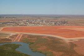 Aerial view of Wedgefield from the north, April 2012. | |||||||||
 Wedgefield | |||||||||
| Coordinates | 20°22′25″S 118°35′34″E | ||||||||
| Population | 144 (2016 census)[1] | ||||||||
| Established | 1960s | ||||||||
| Postcode(s) | 6721 | ||||||||
| Elevation | 7 m (23 ft) | ||||||||
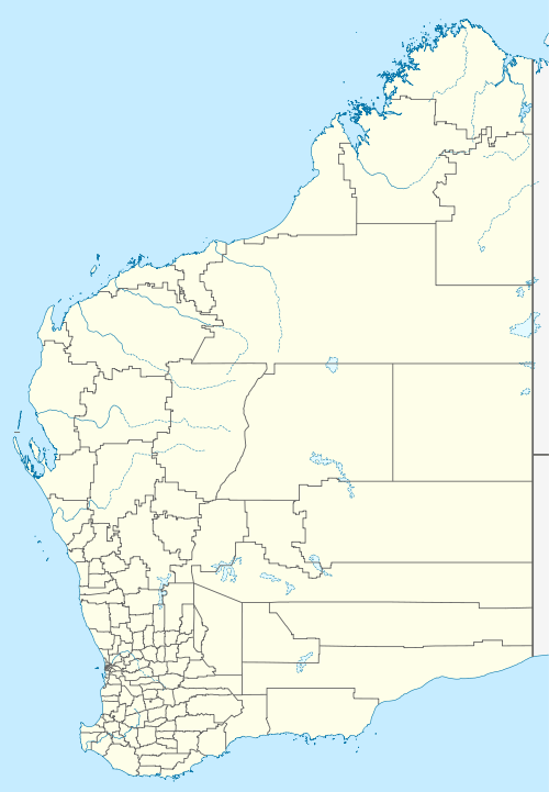
| Location |
| ||||||||
| LGA(s) | Town of Port Hedland | ||||||||
| State electorate(s) | Pilbara | ||||||||
| Federal Division(s) | Durack | ||||||||
| |||||||||
Notes and references
- Australian Bureau of Statistics (27 June 2017). "Wedgefield (State Suburb)". 2016 Census QuickStats. Retrieved 19 April 2018.

- Wedge, Charles (8 August 1866). "Exploration". The Inquirer and Commercial News. Perth, WA. p. 2. Retrieved 2 May 2017.
- Australian Bureau of Statistics (25 October 2007). "Wedgefield (State Suburb)". 2006 Census QuickStats. Retrieved 24 July 2011.
This article is issued from Wikipedia. The text is licensed under Creative Commons - Attribution - Sharealike. Additional terms may apply for the media files.