Waipawa
Waipawa is the second-largest town in Central Hawke's Bay in the east of the North Island of New Zealand. It has a population of 2,170 (June 2019).[1] At the 2013 census, it had a population of 1,965, a change of 2.2 percent from the 2006 census.[2]
Waipawa | |
|---|---|
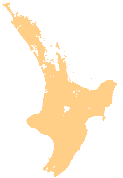 Waipawa Waipawa's location within the North Island | |
| Coordinates: 39°56′S 176°35′E | |
| Country | New Zealand |
| Region | Hawke's Bay |
| Territorial authority | Central Hawke's Bay District |
| Population (June 2019)[1] | |
| • Total | 2,170 |
| Postcode(s) | 4210 |
The town is located 7 kilometres (4.3 mi) northeast of Waipukurau and 46 km (29 mi) southwest of Hastings, on the northern bank of the Waipawa River, a tributary of the Tukituki River.[3][4] Waipawa was settled in the early 1860s, and the Settler's Museum exhibits many of these historical collections.[5]
It holds the main office of the Central Hawke's Bay District Council, and is New Zealand's oldest inland European settlement.[5]
History
Waipawa was originally called Abbotsford; There was also a children's home in Waipawa named Abbotsford. [6]
Waipawa has two marae affiliated with the iwi of Ngāti Kahungunu. The Mataweka Marae and Nohomaiterangi meeting house are affiliated with the hapū of Ngāi Toroiwaho and Ngāti Whatuiāpiti. The Tapairu Marae and Te Rangitahi or Te Whaea o te Katoa meeting house are affiliated with the hapū of Ngāti Mārau o Kahungunu.[7][8]
Education
Waipawa School is a Year 1-8 co-educational state primary school.[9][10] It is a decile 3 school with a roll of 271 as of March 2020.[11][12]
Waipawa used to have a secondary school, Waipawa District High School. This was merged in 1959 with Waipukurau District High School to make Central Hawke's Bay College based in Waipukurau.[13]
Waipawa has been home to several youth organisations. Namely, the New Zealand Cadet Forces's ATC branch, as well as a Scouts New Zealand branch. However, since 2000, both major youth organisations have gone into recess.
Notes
- "Subnational Population Estimates: At 30 June 2019". Statistics New Zealand. 22 October 2019. Retrieved 11 January 2020.
- "Statistics New Zealand: 2013 Census About a place: Waipawa".
- Peter Dowling (editor) (2004). Reed New Zealand Atlas. Reed Books. map 42. ISBN 0-7900-0952-8.CS1 maint: extra text: authors list (link)
- Roger Smith, GeographX (2005). The Geographic Atlas of New Zealand. Robbie Burton. map 108. ISBN 1-877333-20-4.
- "Waipawa Travel Guide". Jasons Travel Media.
- "Discover Waipawa: Central Hawkes Bay - Unwind Country". Archived from the original on 14 May 2010.
- "Te Kāhui Māngai directory". tkm.govt.nz. Te Puni Kōkiri.
- "Māori Maps". maorimaps.com. Te Potiki National Trust.
- "Official School Website". waipawa.school.nz.
- "Ministry of Education School Profile". educationcounts.govt.nz. Ministry of Education.
- "New Zealand Schools Directory". New Zealand Ministry of Education. Retrieved 26 April 2020.
- "Education Review Office Report". ero.govt.nz. Education Review Office.
- "History". Central Hawke's Bay College. Retrieved 5 June 2019.