Vanyola
Vanyola | |
|---|---|
 Flag  Coat of arms | |
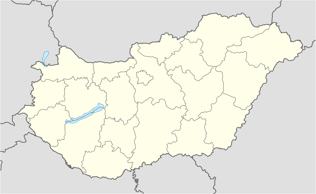 Vanyola Location of Vanyola | |
| Coordinates: 47.38768°N 17.59816°E | |
| Country | |
| County | Veszprém |
| Area | |
| • Total | 19.51 km2 (7.53 sq mi) |
| Population (2004) | |
| • Total | 630 |
| • Density | 32.29/km2 (83.6/sq mi) |
| Time zone | UTC+1 (CET) |
| • Summer (DST) | UTC+2 (CEST) |
| Postal code | 8552 |
| Area code(s) | 89 |
Vanyola is a village in Veszprém county, Hungary.
This article is issued from Wikipedia. The text is licensed under Creative Commons - Attribution - Sharealike. Additional terms may apply for the media files.