Uraricoera River
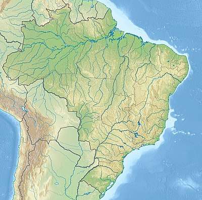
The Uraricoera River (Uraricuera) is a river of Roraima state in northern Brazil. The confluence of the Uraricoera and Takutu Rivers forms the Branco River.
| Uraricoera River | |
|---|---|
 Uraricoera River (Brazil) | |
| Location | |
| Country | Brazil |
| Physical characteristics | |
| Mouth | |
⁃ location | confluence with Takutu River, Roraima, Brazil |
⁃ coordinates | 3.030453°N 60.489600°W |
| Basin features | |
| River system | Branco River |
Basin
The river drains the Guayanan Highlands moist forests ecoregion.[1] Part of the river's basin is in the Roraima National Forest.[2] The Maracá Ecological Station was established by presidential decree on 2 June 1981. The station consists of the island of Maracá between the Santa Rosa and Maracá branches of the Uraricoera River in the municipality of Boa Vista, Roraima, with an area of 101,312 hectares (250,350 acres).[3]
See also
References
- Sears, Robin, South America: Southern Venezuela, northern Brazil, western Guyana, and eastern Colombia (NT0124), WWF: World Wildlife Fund, retrieved 2017-04-01
- Unidade de Conservação: Floresta Nacional de Roraima (in Portuguese), MMA: Ministério do Meio Ambiente, retrieved 2016-05-19
- Presidência da República (2 June 1981), DECRETO Nº 86.061, DE 2 DE JUNHO DE 1981. Cria Estações Ecológicas, e dá outras providências., retrieved 2016-04-16
This article is issued from Wikipedia. The text is licensed under Creative Commons - Attribution - Sharealike. Additional terms may apply for the media files.