Upper Denton
Upper Denton is a small village and civil parish in the north of Cumbria, England about 1 km north of the A69 road linking Haltwhistle and Brampton. The population of the civil parish when taken at the Census of 2011 was less than 100. Details are included in the parish of Nether Denton. The village is situated on the line of the Roman Stanegate road which ran from Corbridge (Coria) to Carlisle (Luguvalium). Just 1 km to the north across the river Irthing is Birdoswald fort on Hadrian's Wall. Nearby villages include Gilsland, Greenhead and Lanercost.
| Upper Denton | |
|---|---|
 St Cuthbert's Church, Upper Denton | |
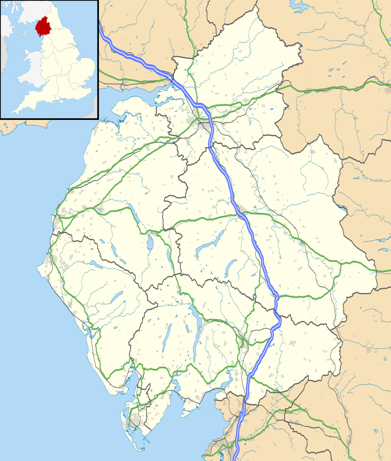 Upper Denton Location within Cumbria | |
| OS grid reference | NY616654 |
| Civil parish |
|
| District | |
| Shire county | |
| Region | |
| Country | England |
| Sovereign state | United Kingdom |
| Post town | BRAMPTON |
| Postcode district | CA8 |
| Dialling code | 016977 |
| Police | Cumbria |
| Fire | Cumbria |
| Ambulance | North West |
| UK Parliament | |
The church was built using Roman stones including a re-used Roman arch, believed to have been removed from Birdoswald fort across the river to the north.[1] The old roofless Bastle house just to the east of the church was at one time a Vicarage.[2]
An accident at the level crossing on 24 December 1970 led to a Department of the Environment report.[3] The level crossing is automated even though there are very few residences on the north side of the line, and the road north of the line is a dead end.

References
- http://www.visitcumbria.com/churches/upper-denton-church/
- http://www.gatehouse-gazetteer.info/English%20sites/725.html
- Dept of the Environment 'Report on the accident that occurred on 24 December 1970 at Upper Denton Public Level Crossing between Haltwhistle and Brampton' HMSO
External links
| Wikimedia Commons has media related to Upper Denton. |
- Pictures, and brief details, of the church
- GENUKI page
- Birdoswald Fort, Hadrian's Wall (English Heritage)
- Map sources for Upper Denton