Tverrdalsøya
Tverrdalsøya is an island in Arendal municipality in Agder county, Norway. The 3.4-square-kilometre (1.3 sq mi) island lies between the Oksefjorden, Eikelandsfjorden, and Kilsundet straits just off the mainland coast at the entrance to the Tvedestrandsfjorden which leads north to the town of Tvedestrand. The island of Flostaøya lies immediately to the south and the island of Borøy lies immediately to the east. The main population centre on the island is the village of Kilsund at the southern end of the island.[1]
 Location in southeastern Norway | |
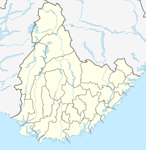 Tverrdalsøya Location of the island  Tverrdalsøya Tverrdalsøya (Norway) | |
| Geography | |
|---|---|
| Location | Agder, Norway |
| Coordinates | 58.5757°N 08.9790°E |
| Area | 3.4 km2 (1.3 sq mi) |
| Length | 4 km (2.5 mi) |
| Width | 2 km (1.2 mi) |
| Highest elevation | 70 m (230 ft) |
| Highest point | Bronheiene |
| Administration | |
Norway | |
| County | Agder |
| Municipality | Arendal |
Historically, the island was a part of the municipality of Dypvåg until 1902 when it was made a part of the new municipality of Flosta. In 1962, it became a part of the new municipality of Moland and then in 1992 it became part of the municipality of Arendal.[2]
See also
References
- "Tverrdalsøya" (in Norwegian). Arendal kommune. Retrieved 2017-11-27.
- Jukvam, Dag (1999). "Historisk oversikt over endringer i kommune- og fylkesinndelingen" (PDF) (in Norwegian). Statistisk sentralbyrå.