Troltrolhue
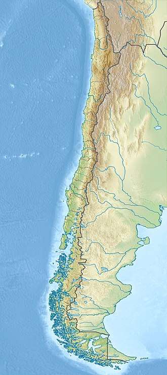
Troltrolhue or Cordillera Troltrolhue is a mountain and mountain range in Los Ríos Region, southern Chile. The mountain range runs from west to east across five communes; Mariquina, Lanco, Máfil, Los Lagos and Panguipulli. It lies south and east of Cruces River and west of Calafquén and Panguipulli lakes. Part of the southeastern slope of the mountain range is a fault scarp.[1] There are historical placer-type gold mines in the Troltrolhue.[2]
| Troltrolhue | |
|---|---|
 Troltrolhue | |
| Highest point | |
| Elevation | 867 m (2,844 ft) |
| Coordinates | 39°35′24.68″S 72°34′50.83″W |
| Geography | |
| Location | Chile |
| Parent range | Loncoche Massif |
| Geology | |
| Age of rock | Paleozoic |
| Mountain type | Block mountain, Mittelgebirge |
References
- Laugenie, Claude (1982). La region des lacs, Chili meridional, recherches sur levolution geomorphologique d'un piemont glaciaire quaternaire andin (Ph.D.) (in French). Universite de Pau et des Pays de l'Adour.
- Pinilla, Ricardo (1985). Informe geológico Nº 10: programa de exploraciones X región (Report). Plan Aurífero Nacional (in Spanish). 20.
This article is issued from Wikipedia. The text is licensed under Creative Commons - Attribution - Sharealike. Additional terms may apply for the media files.