Tidal, Manitoba
Tidal is an unincorporated area and railway point in Census division 23 in Northern Manitoba, Canada.[1][3]
Tidal | |
|---|---|
Railway point | |
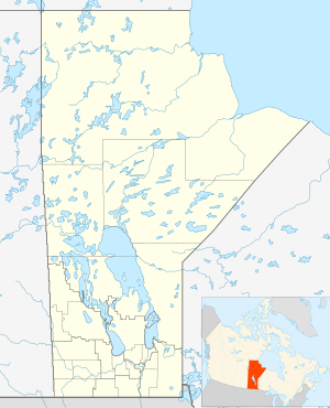 Tidal Location in Manitoba | |
| Coordinates: 58°39′47″N 94°07′13″W[1] | |
| Country | Canada |
| Province | Manitoba |
| Region | Northern |
| Census division | 23 |
| Elevation | 9 m (30 ft) |
| Time zone | UTC-6 (Central Time Zone) |
| • Summer (DST) | UTC-5 (Central Time Zone) |
| Area code(s) | 204, 431 |
| GNBC Code | GBBVA |
History
Tidal was founded with the building of the Hudson Bay Railway in the third decade of the 20th century. When the originally intended final section line route to Port Nelson was abandoned, the construction of the new route of the final section from Amery north to Churchill, which opened in 1929, led to its founding. Tidal lies on the line between the settlements of Digges to the south and Churchill to the north, about 12 kilometres (7.5 mi) south of Churchill.[3]
Transportation
Tidal is the site of Tidal railway station, served by the Via Rail Winnipeg–Churchill train.[4]
References
- "Tidal". Geographical Names Data Base. Natural Resources Canada. Retrieved 2018-07-11.
- Elevation taken from Google Maps at coordinates. Accessed 2018-07-11.
- Map 11 (PDF) (Map). Official highway map of Manitoba. Manitoba Infrastructure. July 2016. Retrieved 2018-07-11.
- "Tidal train station". VIA Rail. Retrieved 2018-07-11.
This article is issued from Wikipedia. The text is licensed under Creative Commons - Attribution - Sharealike. Additional terms may apply for the media files.