The Pas Airport
The Pas Airport, (IATA: YQD, ICAO: CYQD), is located 10 nautical miles (19 km; 12 mi) northeast of The Pas, Manitoba, Canada.
The Pas Airport | |||||||||||
|---|---|---|---|---|---|---|---|---|---|---|---|
| Summary | |||||||||||
| Airport type | Public | ||||||||||
| Operator | Town of The Pas | ||||||||||
| Location | The Pas, Manitoba | ||||||||||
| Time zone | CST (UTC−06:00) | ||||||||||
| • Summer (DST) | CDT (UTC−05:00) | ||||||||||
| Elevation AMSL | 888 ft / 271 m | ||||||||||
| Coordinates | 53°58′17″N 101°05′28″W | ||||||||||
| Map | |||||||||||
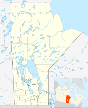 CYQD Location in Manitoba | |||||||||||
| Runways | |||||||||||
| |||||||||||
| Statistics (2010) | |||||||||||
| |||||||||||
RCAF Aerodrome The Pas
In approximately 1942 the aerodrome was listed at 53°58′N 101°06′W with a Var. 17 degrees E and no elevation data. 3 runways were listed as follows:
| Runway Name | Length | Width | Surface |
|---|---|---|---|
| 2/20 | 6000' | 200' | Hard (asphalt) surfaced |
| 12/30 | 4000' | 200' | Hard (asphalt) surfaced |
| 7/25 | 6300' | 200' | Hard (asphalt) surfaced |
The runways are listed as under construction, Serviceable.[4]
Airlines and destinations
| Airlines | Destinations |
|---|---|
| Calm Air | Flin Flon, Thompson, Winnipeg |
| Missinippi Air | Flin Flon, Saskatoon |
References
![]()
- Canada Flight Supplement. Effective 0901Z 30 January 2020 to 0901Z 26 March 2020.
- Synoptic/Metstat Station Information
- Total aircraft movements by class of operation
- Staff writer (c. 1942). Pilots Handbook of Aerodromes and Seaplane Bases Vol. 2. Royal Canadian Air Force. p. 23.
External links
- Past three hours METARs, SPECI and current TAFs for The Pas Airport from Nav Canada as available.
| By name | |
|---|---|
| By location indicator | |
| By province/territory | |
| By area | |
| National Airports System | |
| Related | |
| |
This article is issued from Wikipedia. The text is licensed under Creative Commons - Attribution - Sharealike. Additional terms may apply for the media files.