Tell el-Balamun
Tell el-Balamun (Coptic: ⲡⲟⲩⲛⲉⲙⲟⲩ; Ancient Greek: Διοσπόλις ή κάτω)[1] first known as Smabehdet, is an ancient city in Egypt dating from 2400 BC. It was once a port city on an estuary of the Nile, but is now inland of the Mediterranean Sea. In Classical times it was known as Diospolis Inferior. It has a complex of temples.
Tel el-Balamun ⲡⲟⲩⲛⲉⲙⲟⲩ تل البلامون | |
|---|---|
 Tel el-Balamun | |
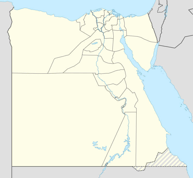
| Coordinates: 31°15′31″N 31°34′17″E | |
| Country | |
| Governorate | Dakahlia Governorate |
History
| Smꜣ bḥdt[2] in hieroglyphs |
|---|
| Pr jmn[1] in hieroglyphs |
|---|
First called Smabehdet or Behdet, the Ancient Egyptian city from 2400 BC or earlier.[3] About 1200 BC, during the New Kingdom of Egypt, it was named Paiuenamun, meaning "The Island of the [god] Amun". It was the ancient form of the name of Balamun.[3][4] Tell el-Balamun, located in an agricultural area in the Nile Delta,[5] it was a port city of an estuary of the Nile (but is now 15 kilometres (9.3 mi) from the Mediterranean Sea due to the advance of the Nile delta).[3]
It was the site of a complex of temples.[6] A Ramesside temple enclosure holds temples from the 26 and 30 dynasties for Nekhtnebef, Psamtik I, and Sheshonq III. There was also a cemetery for elite citizens near the temple enclosure.[5] There was also a tomb of Iken, a Lower Egyptian Vizier, from 900 B.C.[5] In antiquity, the stones for the temples were removed and used for other structures or burnt for lime.[6]
The city was continuously occupied until the 6th century A.D.,[3] when it was an ancient Roman city[5] with a limestone slab paved road.[4]
Archaeological site
The archaeological site, more than a kilometre in diameter, is a series of mounds up to 18 metres (59 ft).[5] What survives within the site are a fortress, other mud structures, and trenches that show the walls of the temples.[6] In 1913, Howard Carter of the Griffith Institute of the University of Oxford performed an archaeological excavation. Francis Ghattas of Mansura University carried out work in 1977 and 1978. The British Museum sponsored excavations beginning in 1991,[5] in partnership with the Egypt Exploration Society, Polish Academy of Sciences and Polish Center for Mediterranean Archaeology. The project continued until 2010.[4]
References
- Gauthier, Henri (1925). Dictionnaire des Noms Géographiques Contenus dans les Textes Hiéroglyphiques Vol. 2. p. 54.
- Gauthier, Henri (1928). Dictionnaire des Noms Géographiques Contenus dans les Textes Hiéroglyphiques Vol. 5. pp. 33–34.
- "The Tell el-Balamun Excavation since 1991". British Museum. Retrieved March 5, 2017.
- "Excavation in Egypt at Tell el-Balamun". British Museum. Retrieved March 5, 2017.
- "Tell el-Balamun". British Museum. Retrieved March 5, 2017.
- "Tell el-Balamun". University College London. 2002. Retrieved March 5, 2017.
- Rainer Hannig: Großes Handwörterbuch Ägyptisch-Deutsch : (2800 – 950 v. Chr.). von Zabern, Mainz 2006, ISBN 3-8053-1771-9, S. 1107.
Further reading
- Hans Bonnet: Diospolis, in: Lexikon der ägyptischen Religionsgeschichte. Nikol, Hamburg 2000, ISBN 3-937872-08-6, S. 158.
- Alan Jeffrey Spencer: Excavations at Tell El-Balamun, 1991–1994. British Museum Press, London 1996, ISBN 0-7141-0991-6.
- A. J. Spencer: Excavations at Tell el-Balamun 1995–1998. British Museum Press, London 1999, ISBN 0-7141-1933-4.
- A. J. Spencer: Excavations at Tell El-Balamun, 1999–2001. British Museum Press, London 2003, ISBN 0-7141-1958-X.