Te Puru
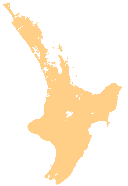
Te Puru is a locality on the western side of the Coromandel Peninsula of New Zealand. State Highway 25 runs through it. Tapu lies about 7 km to the north, and Thames is about 12 km to the south.[1][2] The Te Puru Stream and about 18 tributaries drain a steep hilly 23 km² area of the Coromandel Range, almost entirely covered by native forest. It runs through the settlement and into the Firth of Thames to the west. Flooding has been a problem.[3]
Te Puru | |
|---|---|
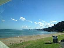
 View from a bach at Te Puru | |
 Te Puru | |
| Coordinates: 37°2′48″S 175°31′18″E | |
| Country | New Zealand |
| Region | Waikato |
| District | Thames-Coromandel District |
| Population (2013) | |
| • Total | 846 |
According to the 2013 New Zealand census, Te Puru together with Thornton Bay to the south have a population of 846, a decrease of 96 people since the 2006 census.[4]
Education
Te Puru School is a coeducational full primary (years 1-8) school with a roll of 162 students as of March 2020.[5][6]
History
Te Puru suffered severe flooding during the 'weather bomb 2002'. The weather bomb was a low-pressure system that led to extensive flooding on the Coromandel Peninsula and the south-west Waikato region.[7] Te Puru and Waiomu were included in the ‘high impact’ area of the storm.[8] Private and public property was damaged during the flood.
Notes
- Peter Dowling (editor) (2004). Reed New Zealand Atlas. Reed Books. pp. map 16. ISBN 0-7900-0952-8.CS1 maint: extra text: authors list (link)
- Roger Smith, GeographX (2005). The Geographic Atlas of New Zealand. Robbie Burton. pp. map 40. ISBN 1-877333-20-4.
- "Proposals for Te Puru" (PDF). Environment Waikato.
- 2013 Census QuickStats about a place : Te Puru-Thornton Bay
- "New Zealand Schools Directory". New Zealand Ministry of Education. Retrieved 26 April 2020.
- Education Counts: Te Puru School
- NIWA - June 2002 Upper North Island Weather Bomb.
- Ministry for the Environment - The Waikato Weather Bomb: Understanding the impact.