Tatajachura
Tatajachura is a stratovolcano in Chile, in the Isluga National Park.[2]
| Tatajachura | |
|---|---|
 Tatajachura | |
| Highest point | |
| Elevation | 5,240 m (17,190 ft) [1] |
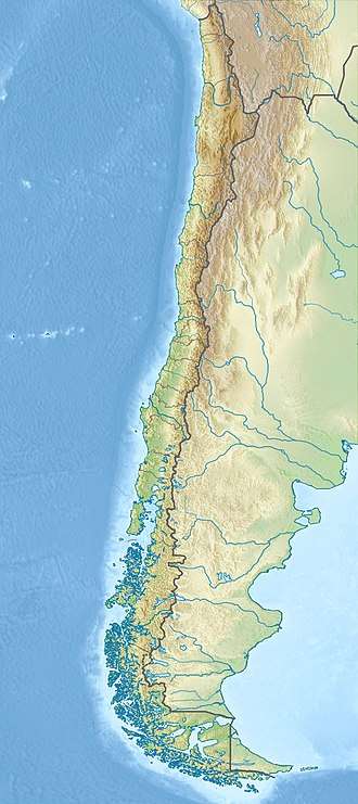
| Coordinates | 19.5°S 69.12°W [1] |
During the Pliocene and Pleistocene it erupted lava flows of andesitic composition[1] and has a crater that opens westwards.[3] The volcano is also the source of the Quebrada de Chiapa valley,[4] and of an Inca ruin on the summit; human sacrifices were performed at the mountain to obtain a reliable water supply.[5]
The age of eruptive activity is unclear; while the appearance of the edifice suggests a lower Pliocene age, its position in the Precordillera and atop an older plain suggests it may be older than that.[6] Potassium-argon dating has yielded one age, 6 ± 1.3 million years ago.[7]
References
- "Cerro Tatajachura". Global Volcanism Program. Smithsonian Institution.
- Santibáñez, Hernán Torres (2004). Los parques nacionales de Chile: una guía para el visitante (in Spanish). Editorial Universitaria. ISBN 9789561117013.
- Gonzalez-Ferran, Oscar (1994). Volcanes de Chile (1. ed.). Santiago, Chile: Instituto geografico militar. p. 132. ISBN 9789562020541.
- Espinoza, Enrique (1897). Jeografía descriptiva de la república de Chile, arreglada según las últimas divisiones administrativas, las más recientes esploraciones i en conformidad al censo jeneral de la república levantado el 28 de noviembre de 1895 (in Spanish). University of Michigan. Santiago de Chile, Imprenta i encuadernación Barcelona. p. 70.
- Reinhard, Johan (1985). "Sacred Mountains: An Ethno-Archaeological Study of High Andean Ruins". Mountain Research and Development. 5 (4): 299–317. doi:10.2307/3673292. JSTOR 3673292 – via http://emp.byui.edu/SatterfieldB/Rel390R/Fur%20Further%20Study/Sacred%20Mountains%20Andean%20South%20America.pdf.
- Farías, Marcelo; Charrier, Reynaldo; Comte, Diana; Martinod, Joseph; Hérail, Gérard (1 August 2005). "Late Cenozoic deformation and uplift of the western flank of the Altiplano: Evidence from the depositional, tectonic, and geomorphologic evolution and shallow seismic activity (northern Chile at 19°30′S)". Tectonics. 24 (4): 8–9. doi:10.1029/2004TC001667. ISSN 1944-9194.
- Herrera, Sebastian; Pinto, Luisa; Deckart, Katja; Cortés, Javier; Valenzuela, Javier (31 May 2017). "Cenozoic tectonostratigraphic evolution and architecture of the Central Andes in northern Chile based on the Aquine region, Western Cordillera (19°-19º30' S)". Andean Geology. 44 (2): 87–122. ISSN 0718-7106.
This article is issued from Wikipedia. The text is licensed under Creative Commons - Attribution - Sharealike. Additional terms may apply for the media files.