Tōwa, Iwate
Tōwa (東和町, Tōwa-chō) was a town located in Waga District, Iwate Prefecture, Japan.
Tōwa 東和町 | |
|---|---|
Former municipality | |
 Flag | |
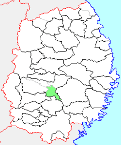 Location of Tōwa in Iwate Prefecture | |
 Tōwa Location in Japan | |
| Coordinates: 39°23′13.2″N 141°13′41.5″E | |
| Country | Japan |
| Region | Tōhoku |
| Prefecture | Iwate Prefecture |
| District | Waga District |
| Merged | January 1, 2006 (now part of Hanamaki) |
| Area | |
| • Total | 157.51 km2 (60.81 sq mi) |
| Population (January 1, 2006) | |
| • Total | 10,027 |
| • Density | 63.66/km2 (164.9/sq mi) |
| Symbols | |
| • Tree | Pinus densiflora |
| • Flower | Iris sanguinea |
| • Bird | Green pheasant |
| Time zone | UTC+9 (JST) |
History
The town of Tōwa created on January 1, 1955 within Waga District by the merger of the villages of Tsuchizawa, Taninai and Nakanai.
On January 1, 2006, Tōwa, along with the towns of Ishidoriya and Ōhasama (both from Hienuki District), was merged into the expanded city of Hanamaki, and no longer exists as an independent municipality.
As of January 1, 2006, the town had an estimated population of 10,027 and a population density of 63.66 persons per km². The total area was 157.51 km².
External links
- Official website of Hanamaki (in Japanese)
| Authority control |
|
|---|
This article is issued from Wikipedia. The text is licensed under Creative Commons - Attribution - Sharealike. Additional terms may apply for the media files.