Tête de la Cicle
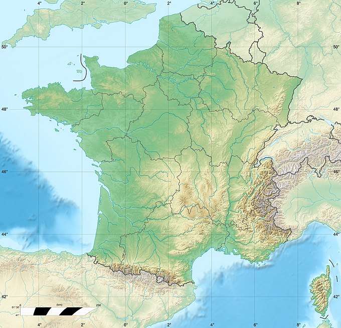
Tête de la Cicle is a mountain of Savoie, France. It lies in the Beaufortain Massif range and has an elevation of 2,552 metres above sea level.
| Tête de la Cicle | |
|---|---|
 Tête de la Cicle France | |
| Highest point | |
| Elevation | 2,552 m (8,373 ft) |
| Coordinates | 45°45′17″N 06°41′12″E |
| Geography | |
| Location | Savoie and Haute-Savoie, France |
| Parent range | Beaufortain Massif |
Bibliography
- Christophe Hagenmuller, Les plus belles traces du Beaufortain, Naturalpes, 2006 (ISBN 295278700X)
- Martial Manon, Panorama du Beaufortain, La Fontaine De Siloe, coll. « Les savoisiennes », 2002 (ISBN 2842062051)
This article is issued from Wikipedia. The text is licensed under Creative Commons - Attribution - Sharealike. Additional terms may apply for the media files.