Svolhusgreini
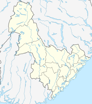
Svolhusgreini is a mountain on the border of Aust-Agder and Telemark counties in southern Norway. The 1,420-metre (4,660 ft) tall mountain is the 14th highest mountain in Aust-Agder county. The mountain has a topographic prominence of 50 metres (160 ft). The mountain sits on the border of the municipalities of Bykle in Aust-Agder and Tokke in Telemark. It is located in the Setesdalsheiene mountains about half-way between the mountains of Brandsnutene to the north and Sæbyggjenuten to the south. The village of Berdalen lies about 10 kilometres (6.2 mi) to the southwest.
| Svolhusgreini | |
|---|---|
 Svolhusgreini Location of the mountain  Svolhusgreini Svolhusgreini (Telemark)  Svolhusgreini Svolhusgreini (Norway) | |
| Highest point | |
| Elevation | 1,420 m (4,660 ft) |
| Prominence | 50 m (160 ft) |
| Coordinates | 59.4790°N 07.5942°E [1] |
| Geography | |
| Location | Aust-Agder and Telemark, Norway |
| Parent range | Setesdalsheiene |
This article is issued from Wikipedia. The text is licensed under Creative Commons - Attribution - Sharealike. Additional terms may apply for the media files.